Bing daily wallpapers
page 8 / 20
| 2026‑09‑27 ‑ | Japan |
|---|
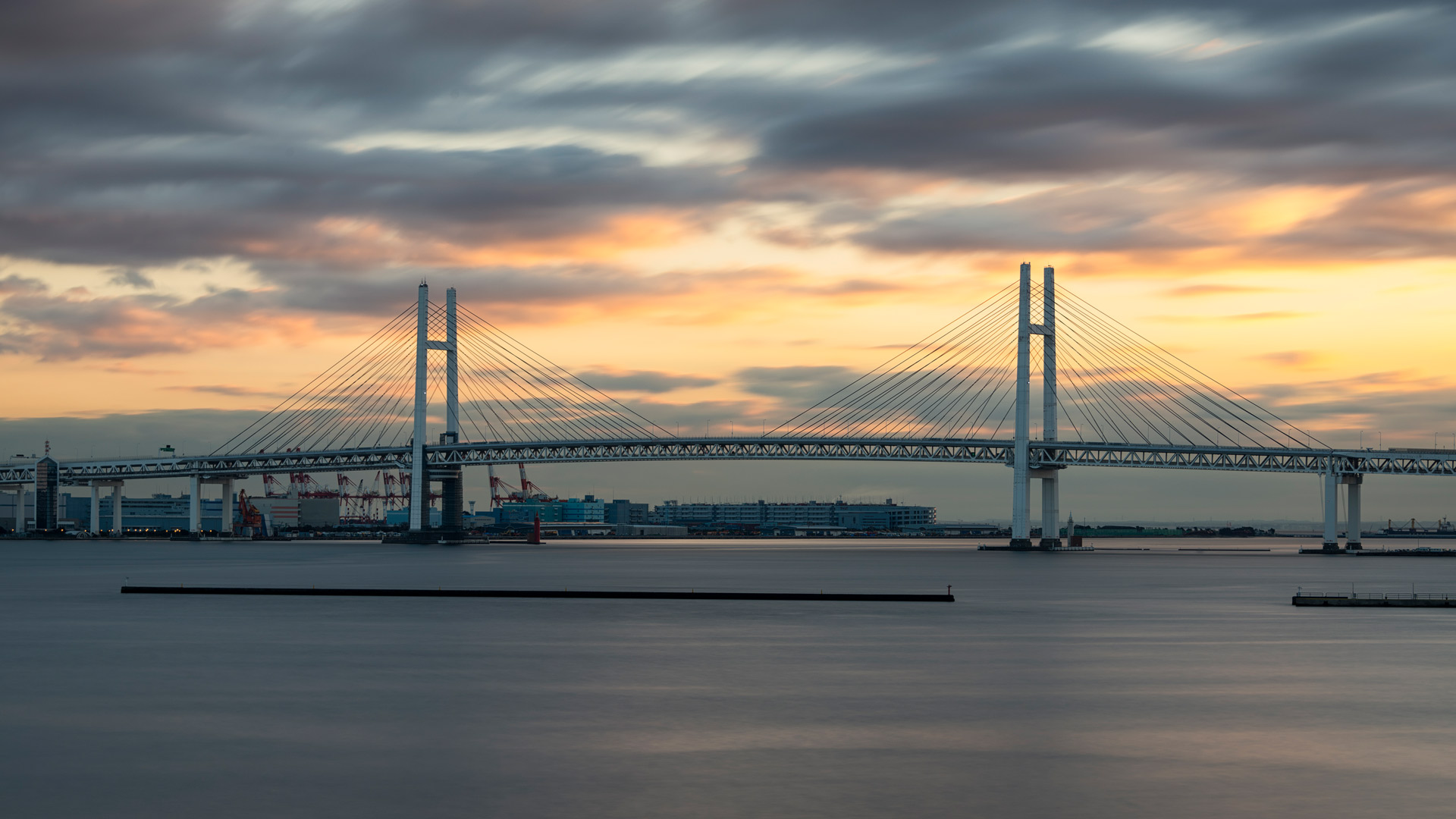
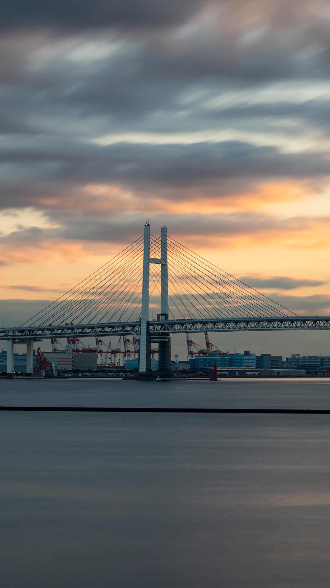
| ja | • | 横浜ベイブリッジ, 神奈川県 横浜市 |
| (© Yuga Kurita/Getty Images) |
Today is the opening day of the Yokohama Bay Bridge.
On this day in 1989, September 27, the Yokohama Bay Bridge opened. It is an 860-meter-long bridge connecting Naka Ward and Tsurumi Ward in Yokohama City, and at the time of its completion, it was the longest cable-stayed bridge in Japan. The upper level is the Shuto Expressway Bayshore Route, and the lower level is National Route 357, forming a two-tiered structure. It is known as a beautiful night view spot, and its photo taken from the nearby Yokohama Port Sanbashi International Ferry Terminal with the moon has been selected as one of Japan's 100 Famous Moons. Additionally, its excellent technical skills and beautiful design have earned it recognition as one of Japan's 100 Famous Bridges.


| 2026‑09‑26 ‑ | International / China / India / Italy / Japan / Spain / United Kingdom / United States |
|---|
| en | • | Cedar Mesa and Muley Point near Bears Ears National Monument, Utah, United States |
| • | Cedar Mesa and Muley Point near Bears Ears National Monument, Utah, USA | |
| es | • | Cedar Mesa y Muley Point cerca del Monumento Nacional Bears Ears, Utah, EE. UU. |
| it | • | Cedar Mesa e Muley Point vicino al Monumento Nazionale Bears Ears, Utah, USA |
| ja | • | シーダーメサ, 米国 ユタ州 |
| zh | • | 熊耳国家纪念区附近的雪松台地和骡子角,犹他州,美国 |
| (© Jeff Clay/Tandem Stills + Motion) |
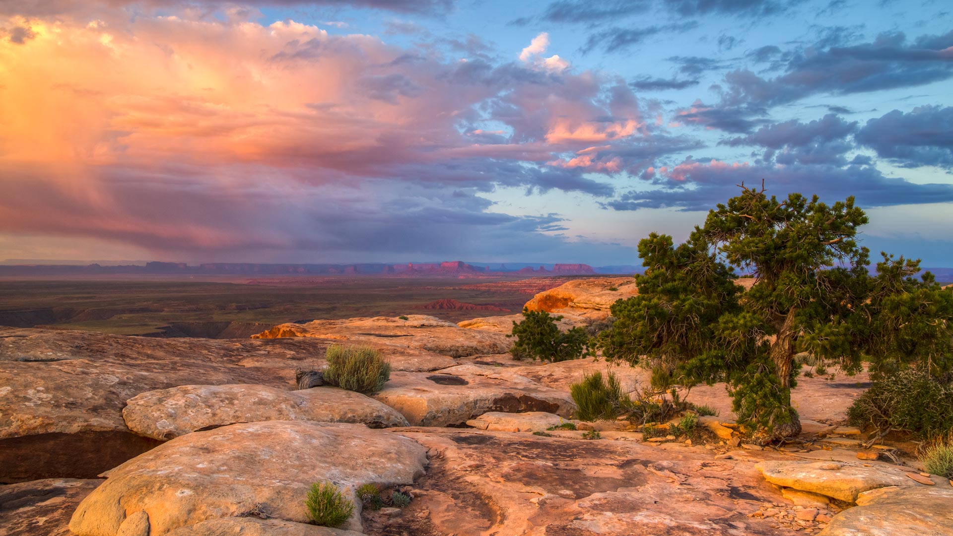
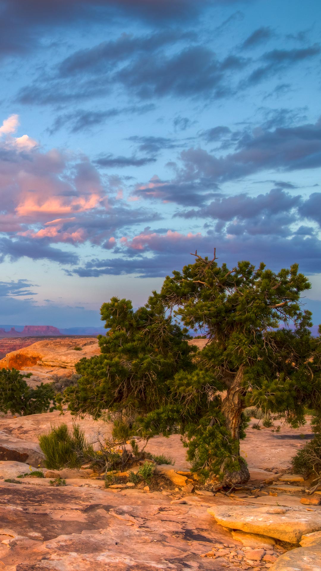
Bears Ears National Monument, Utah, United States
What do a bear's ears, a house on fire and a road packed with hairpin turns have in common? They're all part of the story of America's public lands in southeastern Utah. Bears Ears National Monument protects important cultural and natural resources, including archaeological sites that reflect thousands of years of human history. Its name comes from two buttes that rise side by side and resemble a bear's ears.
Much of the monument sits on Cedar Mesa, which rises to roughly 1,980 metres and is carved by deep canyons. Grand Gulch is particularly significant for its archaeological sites, while Mule Canyon is home to House on Fire, where sandstone walls can glow orange in the morning light. For sweeping views, Muley Point looks across the San Juan River, Valley of the Gods, Monument Valley and Navajo Mountain. Getting there can be an adventure too: the steep, unpaved Moki Dugway climbs the mesa through a series of dramatic switchbacks.


| 2026‑09‑26 ‑ | Canada ‑ English / Canada ‑ French |
|---|
| en | • | Horseshoe Falls illuminated at night in Niagara Falls, Ontario |
| fr | • | Les chutes du Fer-à-Cheval illuminées le soir à Niagara Falls, Ontario |
| (© Jianmei Wang/E+/Getty Images) |
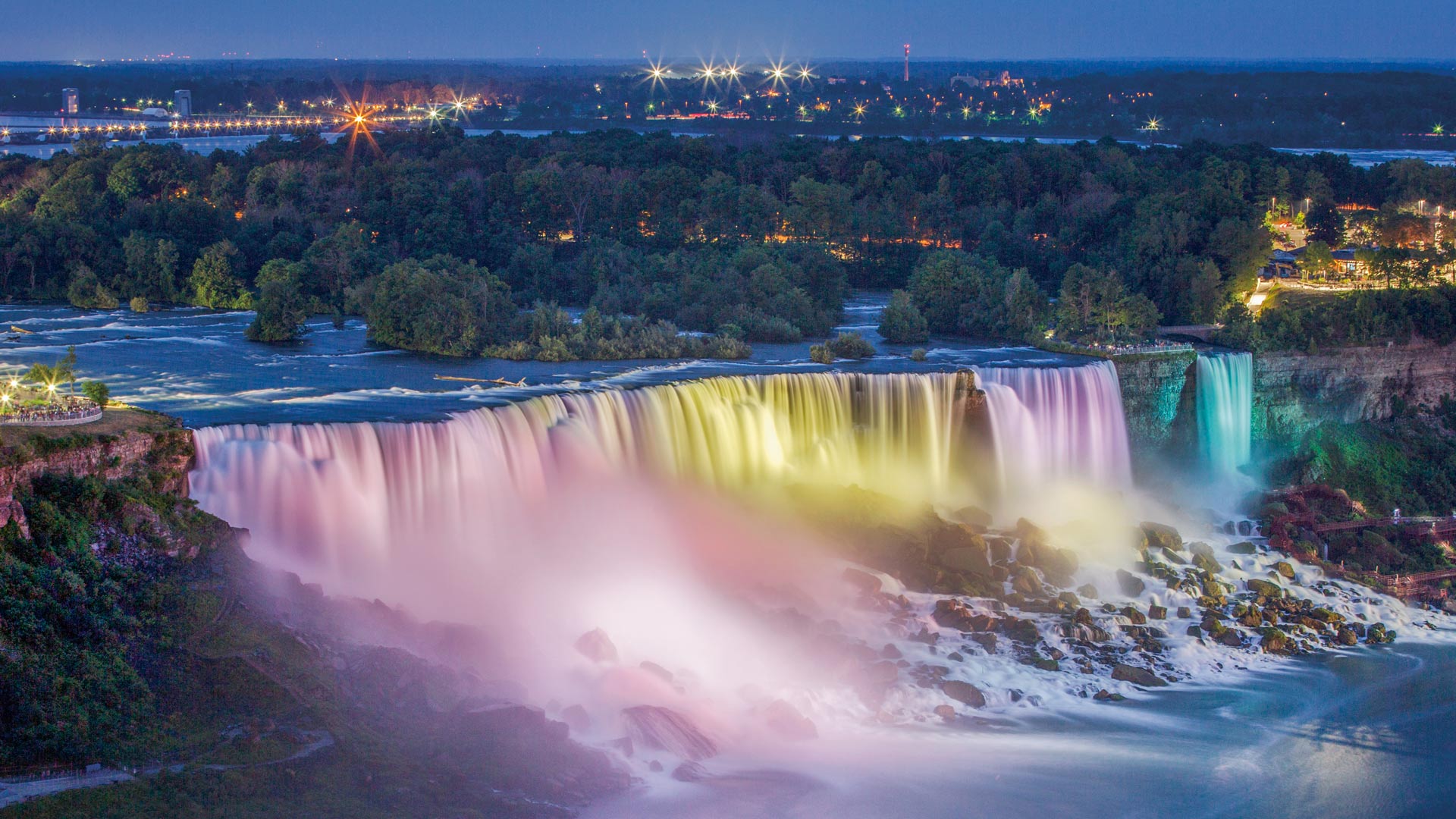
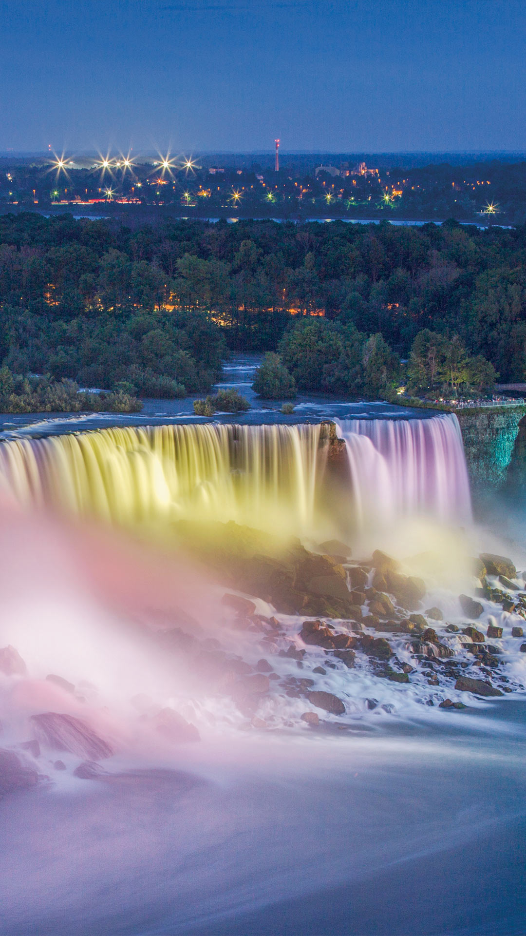
Horseshoe Falls at night in Niagara Falls, Ontario, Canada
People have been coming to Niagara Falls, on the Canada-US border, for centuries to admire the view. A few, however, decided admiring it from a safe distance was overrated. In 1901, Annie Edson Taylor climbed into a barrel and became the first recorded person to survive going over the Falls. Others followed with their own stunts, although such attempts are now illegal. The Falls have also inspired artists, filmmakers and musicians, with Hollywood giving them a starring role in 'Niagara' (1953), featuring Marilyn Monroe and Joseph Cotten.
Horseshoe Falls is the largest of Niagara's three waterfalls, alongside American Falls and Bridal Veil Falls. During peak daytime tourist hours, more than 168,000 cubic metres of water flows over the crest every minute. The Falls drop an average of 57 metres into the Lower Niagara River, while the crest stretches about 670 metres wide. After dark, nightly illumination lights all three waterfalls in changing colours, giving Niagara Falls a colourful second act.


| 2026‑09‑26 ‑ | Germany |
|---|
| de | • | Luftaufnahme des Starnberger Sees im Herbst, Bayern |
| (© Mystockimages/Getty Images) |
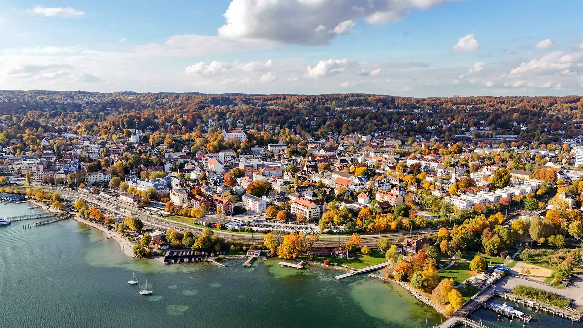
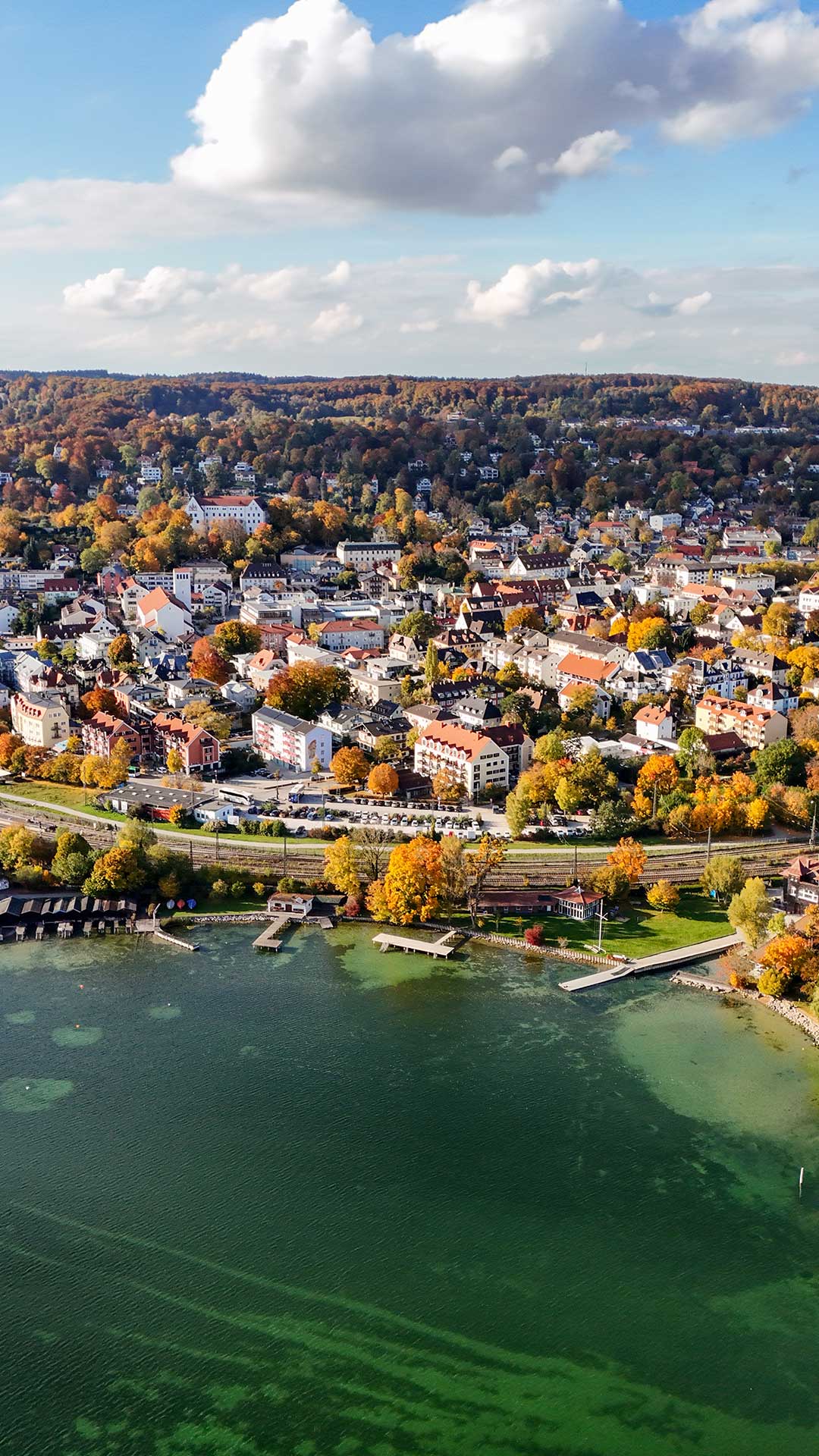
Aerial view of Lake Starnberg in autumn, Bavaria
In autumn, Lake Starnberg unfolds a special effect from a bird's eye view. The extensive water surface, the autumn-coloured shore areas and the numerous villages on the lakeshore characterise one of the most famous lake landscapes in Bavaria. The lake is located southwest of Munich and is a popular destination for nature and relaxation seekers.
Lake Starnberg was formed during the last ice age and, with an area of around 56 square kilometres, is one of the largest lakes in Germany. With a maximum depth of about 128 metres, it is also one of the deepest lakes in the country. Its clear waters and diverse shore zones offer valuable habitats for numerous animal and plant species.
Today, the lake offers a wide range of opportunities for water sports, shipping and recreation. The aerial view illustrates the interplay of water, wooded shore areas and settlements and gives a comprehensive impression of this scenically and geographically important region. The autumnal colours give the panorama a particularly calm and harmonious aura.

| 2026‑09‑26 ‑ | France |
|---|
| fr | • | Village des Bories, Gordes, Provence-Alpes-Côte d’Azur |
| (© AGUILAR PATRICE/Alamy) |
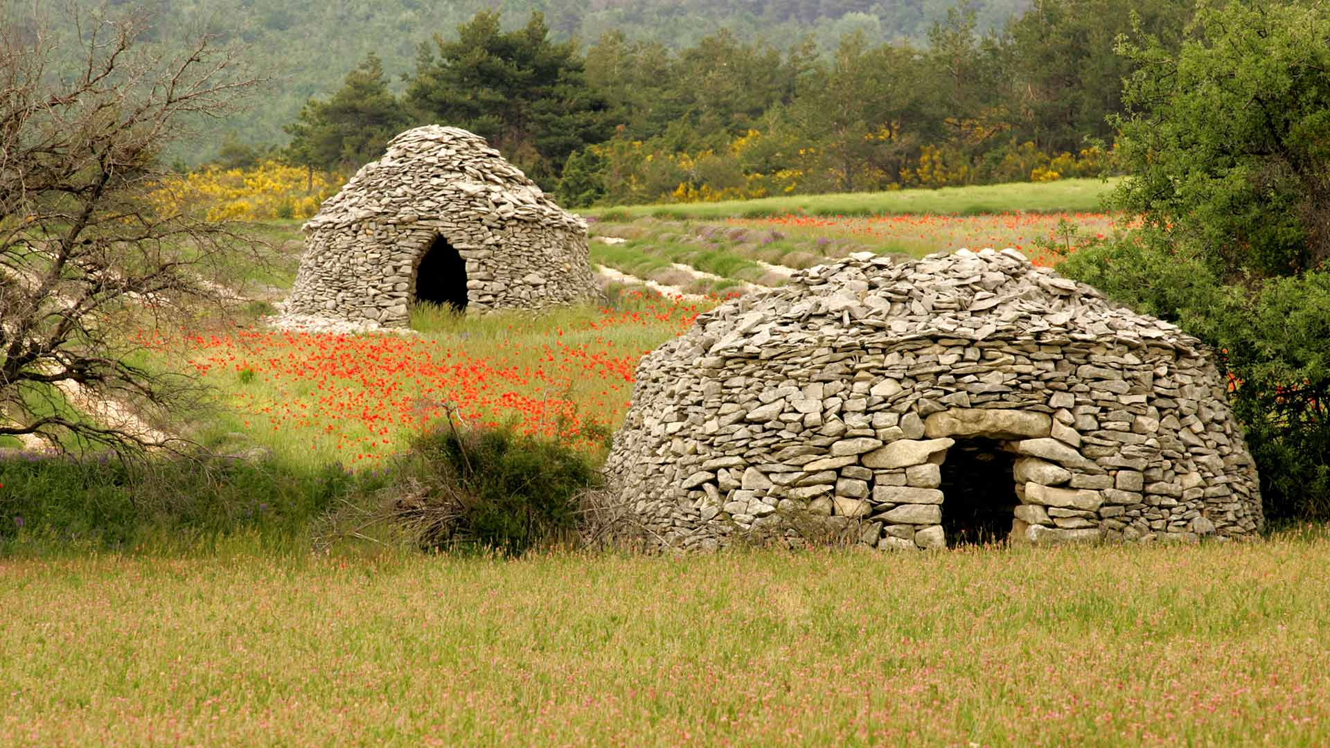
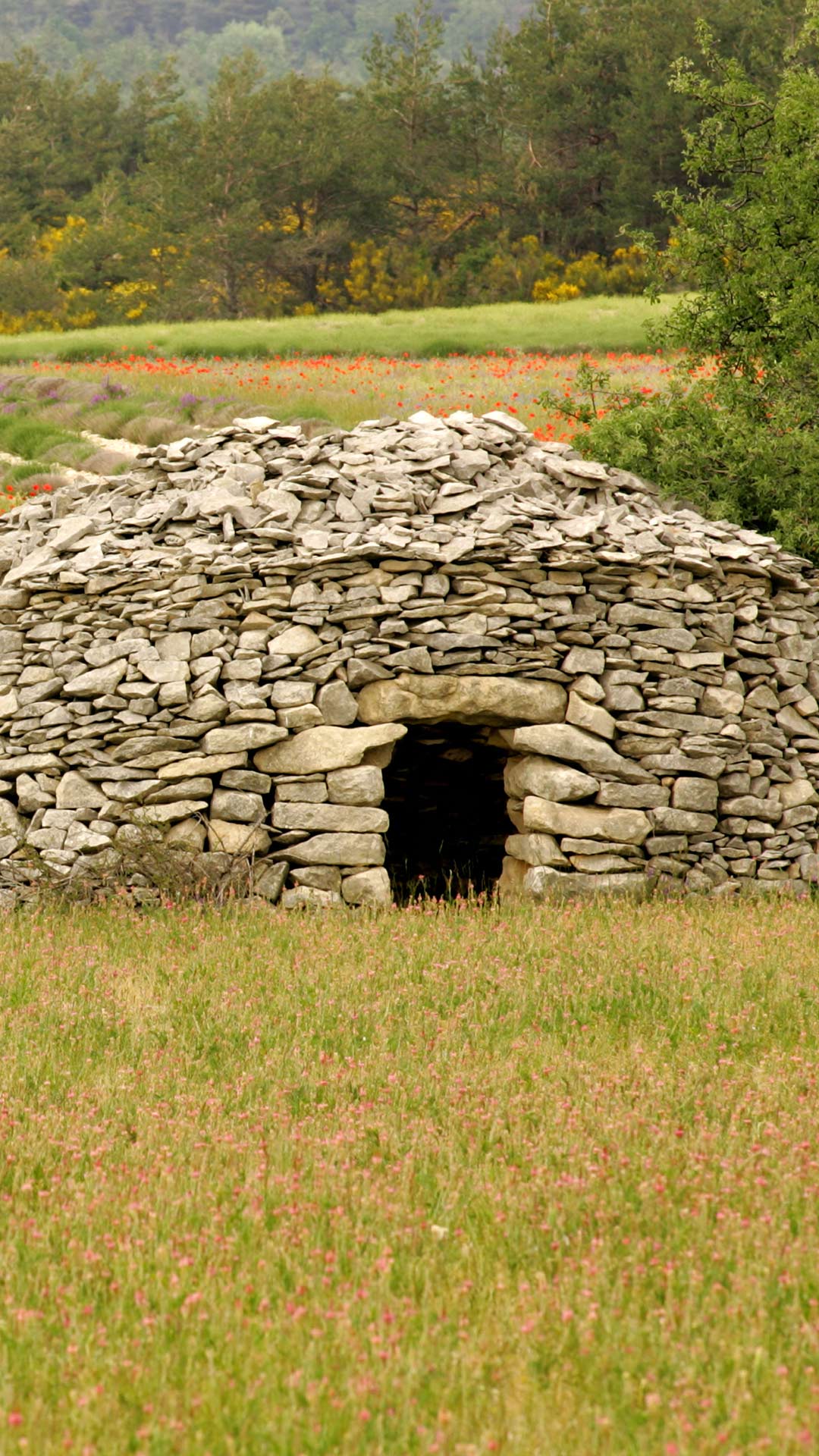
Village of Les Bories, Gordes, Provence-Alpes-Côte d'Azur
In the first days of autumn, the Village des Bories is adorned with a golden light that sublimates the dry stones of the Luberon. Under a still bright sky, the holm oaks mingle with the first golden foliage, while the scents of thyme and rosemary melt into the cooler air of the season.
Built without mortar according to an ancestral technique, these remarkable huts bear witness to the know-how of Provençal farmers. As you walk along the paths, visitors discover a landscape shaped by man and nature, where stone walls blend harmoniously with the limestone hills.
The song of the cicadas gradually fades, giving way to a tranquility conducive to contemplation. Here and there, the bunches of grapes ripen in the neighbouring vineyards. Between heritage and Mediterranean nature, the Village des Bories invites you to slow down, observe the nuances of the emerging autumn and savour the timeless beauty of Provence.

| 2026‑09‑25 ‑ | International | 2026‑07‑01 ‑ | India |
|---|
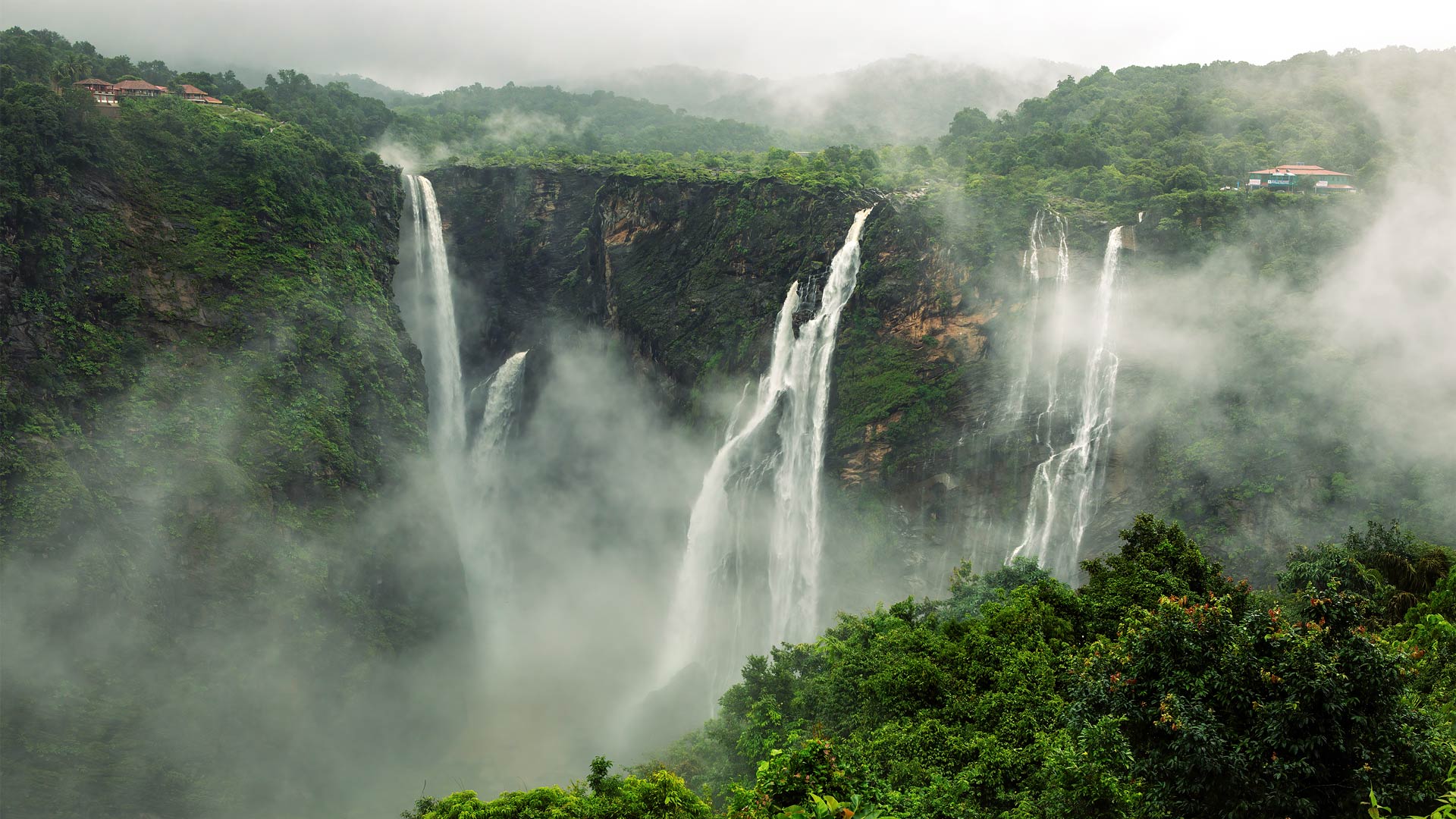
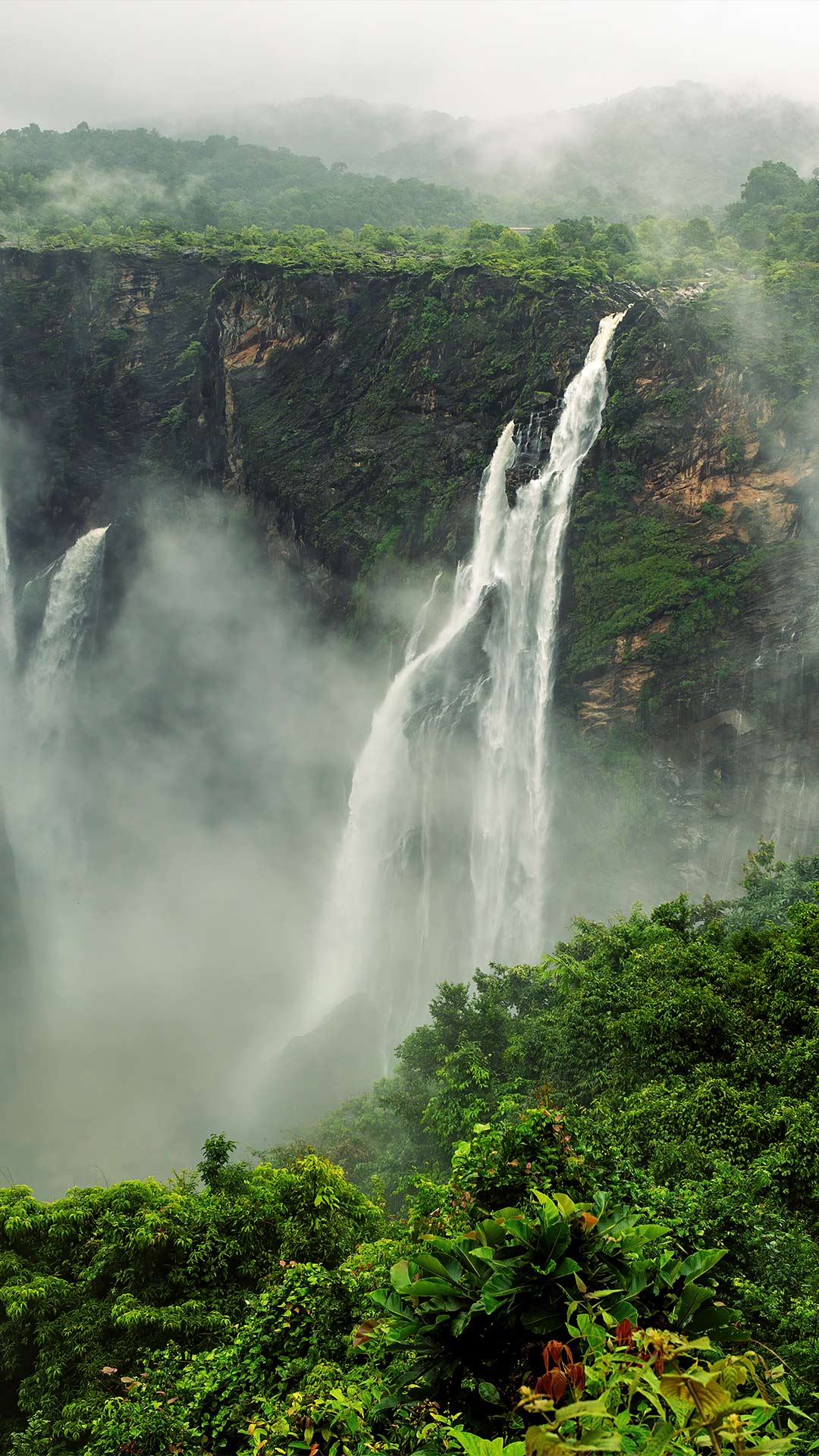
| en | • | Jog Falls on the Sharavathi River, Shivamogga district, Karnataka |
| • | Jog Falls, Sharavathi River, Karnataka, India | |
| (© Amith Nag Photography/Getty Images) | (© Amith Nag Photography/Moment/Getty Images) |
Jog Falls, Karnataka, India
Most rivers spend their lives flowing around obstacles. The Sharavathi River reaches the edge of a cliff and simply jumps. At Jog Falls in Karnataka, the river plunges 253 metres, making it the third-highest waterfall in India.
Set in the Western Ghats, Jog Falls is formed by four distinct cascades: Raja, Rani, Roarer and Rocket. Each stream has its own style before joining the grand plunge below. Raja descends with royal composure, Roarer provides the soundtrack, Rocket lives up to its name and Rani adds a touch of grace.
The falls are at their most powerful during the monsoon, when water surges over the cliffs in a curtain of white. In drier months, the separate streams become easier to spot. Either way, visitors are treated to a view that makes quite a splash. At Jog Falls, the river's biggest drop is also its biggest moment.