Bing daily wallpapers
page 5 / 20
| 2026‑10‑02 ‑ | France |
|---|
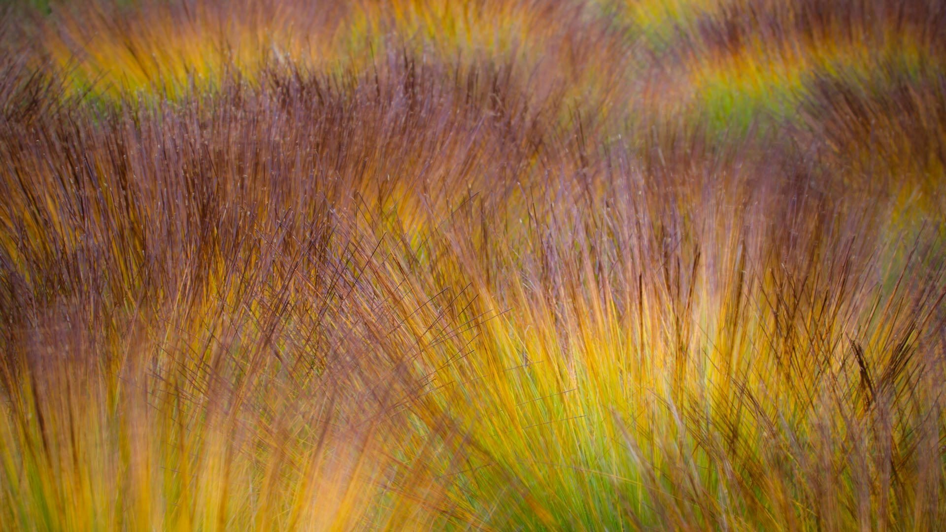
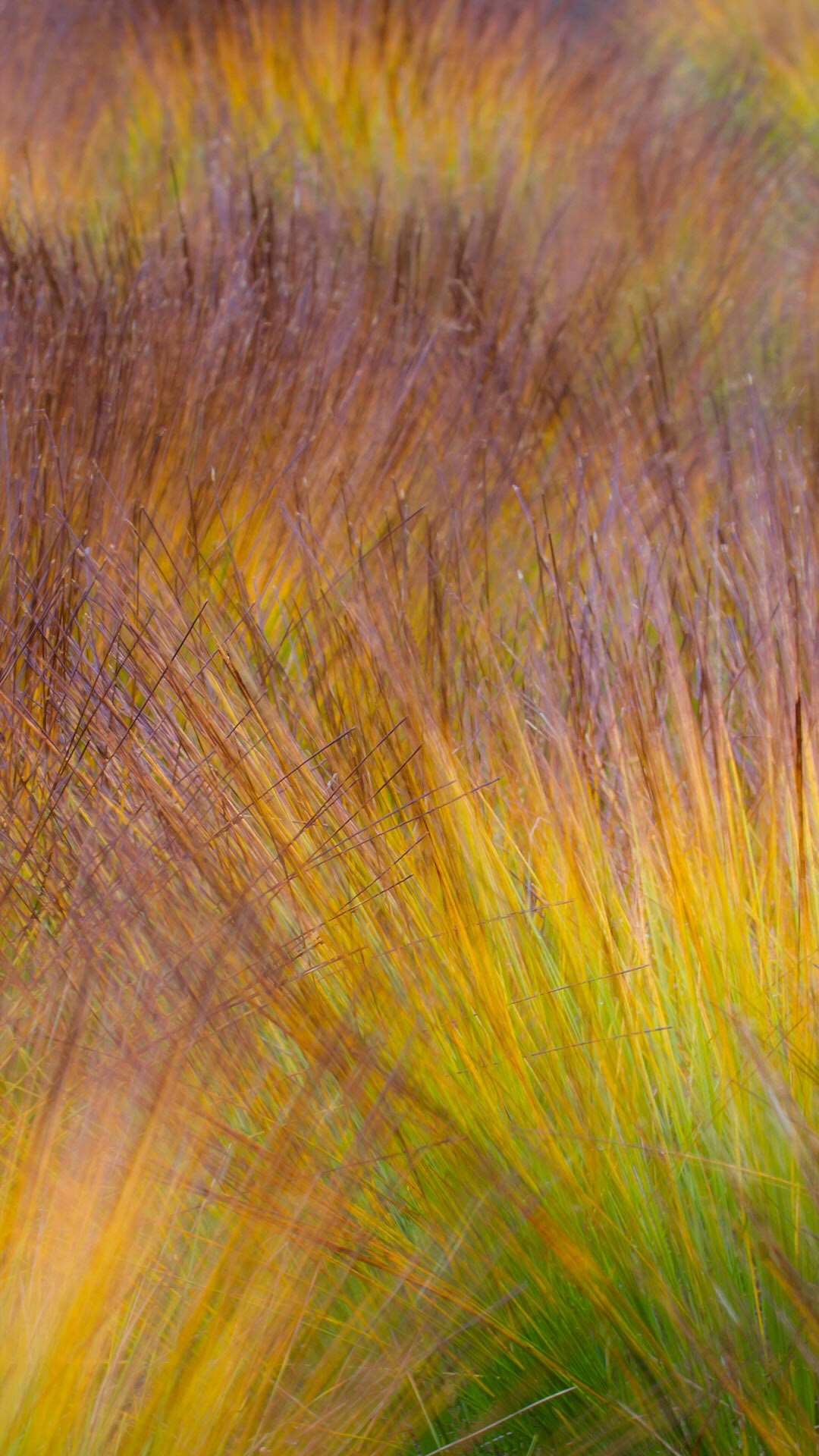
| fr | • | Végétation automnale multicolore sur la tourbière |
| (© Utopia_88/Getty Images) |
Autumn vegetation on the bog
Forests are often used to celebrate the colours of autumn — the copper beech, the golden oak, the scarlet maple. But in France, other landscapes are adorned with equally striking hues, in a silence that the undergrowth does not know.
In the peat bogs of our mountain ranges, the sphagnum mosses — the thousand-year-old mosses that have built this spongy soil layer after layer since the last ice age — turn to carmine and rusty gold. Under your feet, the earth trembles slightly: you walk on several meters of plant matter accumulated over ten thousand years.
In autumn, sphagnum mosses turn carmine red because they reduce their photosynthetic activity and reveal their natural pigments. An example of a living thing that, despite being thousands of years old, continues to live to the rhythm of the seasons.

| 2026‑10‑02 ‑ | India |
|---|
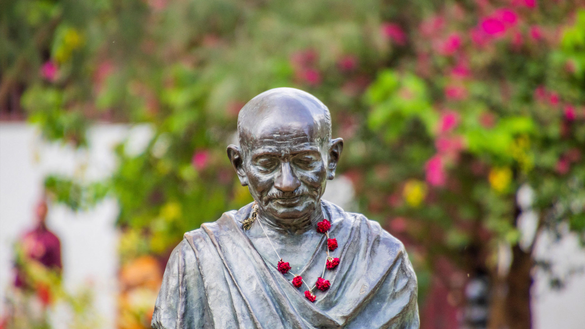
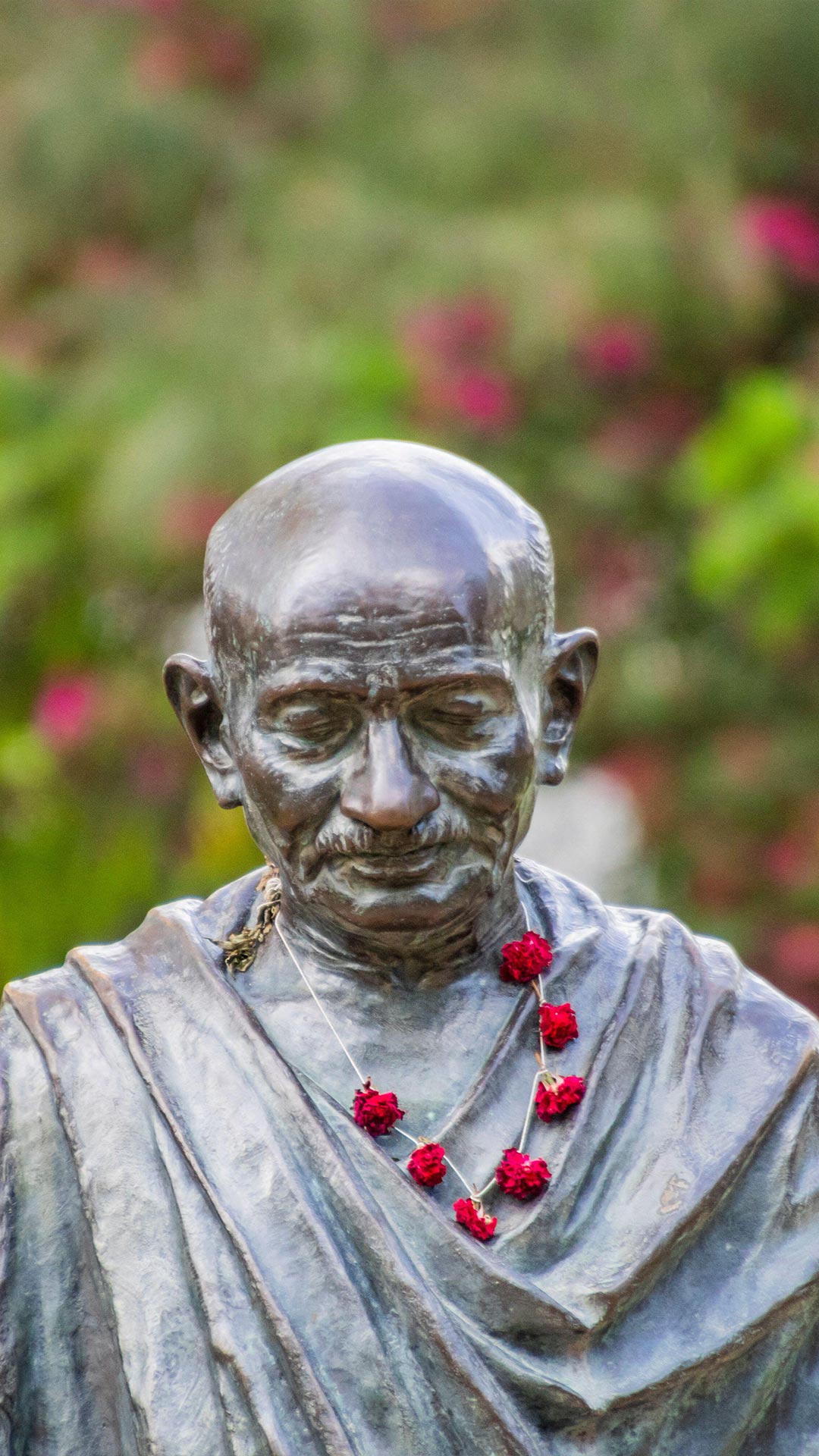
| en | • | Mahatma Gandhi statue at the Sabarmati Ashram in Ahmedabad, Gujarat |
| (© Kandarp Gupta/Alamy) |
Gandhi Jayanti
Not every freedom fighter carried a weapon. He carried an idea. Gandhi Jayanti marks the birth of Mohandas Karamchand Gandhi, born in Porbandar, India, in 1869. He became a key leader of India's independence movement through satyagraha, his philosophy of truth and non-violent resistance. His 1930 Salt March showed how something as ordinary as salt could become a powerful symbol of protest. His influence eventually reached far beyond India, inspiring movements built around peaceful resistance.
His life also had some surprising twists. The man known for addressing huge crowds was once painfully shy and struggled with public speaking as a young lawyer. He was nominated for the Nobel Peace Prize five times but never won. During his time in South Africa, he also took an interest in soccer and helped establish football clubs.
The United Nations observes Gandhi's birthday as the International Day of Non-Violence. From courtroom nerves to worldwide influence, his journey proves that change can start quietly—and still make plenty of noise.


| 2026‑10‑01 ‑ | International / Canada ‑ English / Canada ‑ French / China / Italy / Japan / United States |
|---|
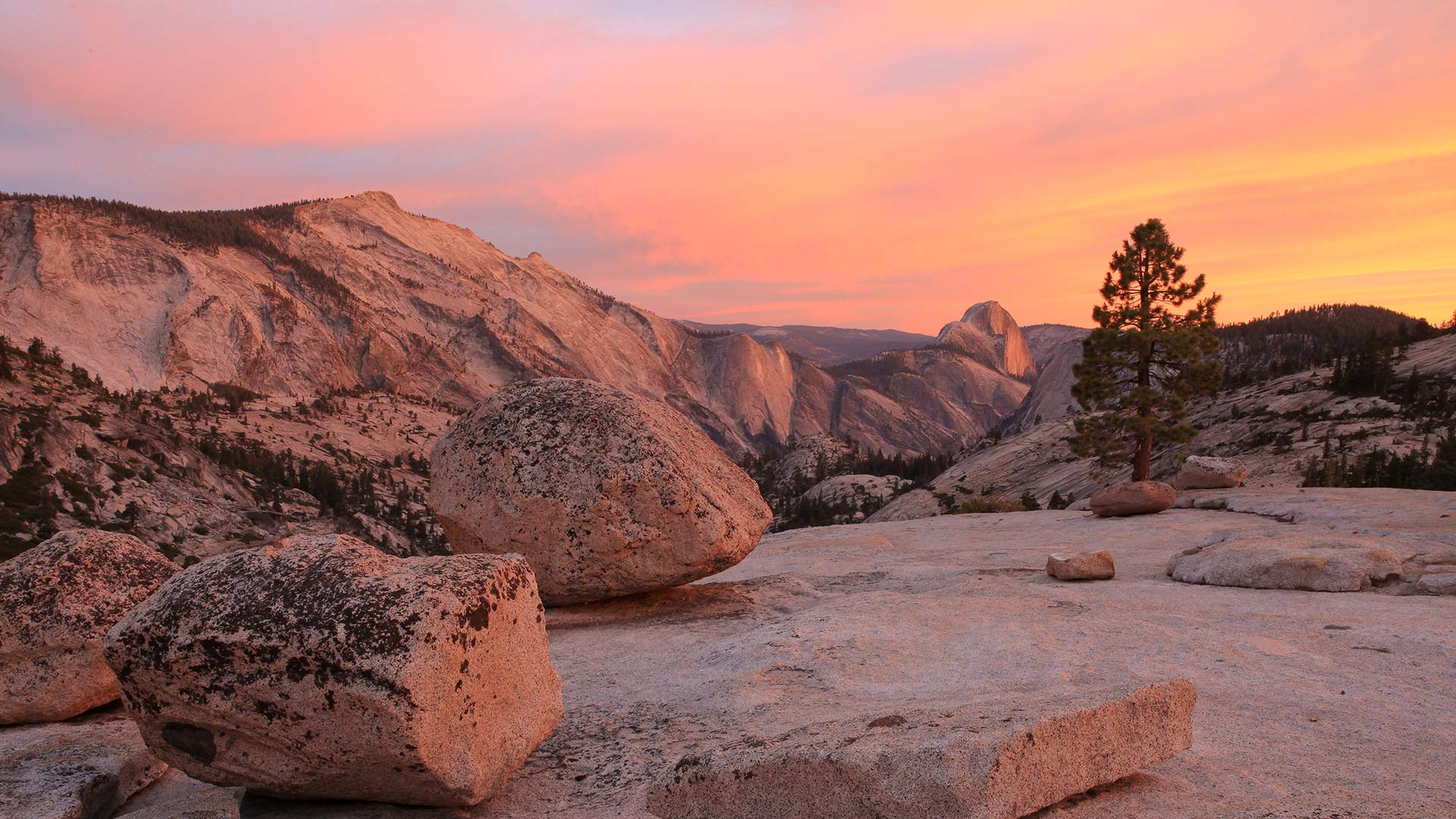
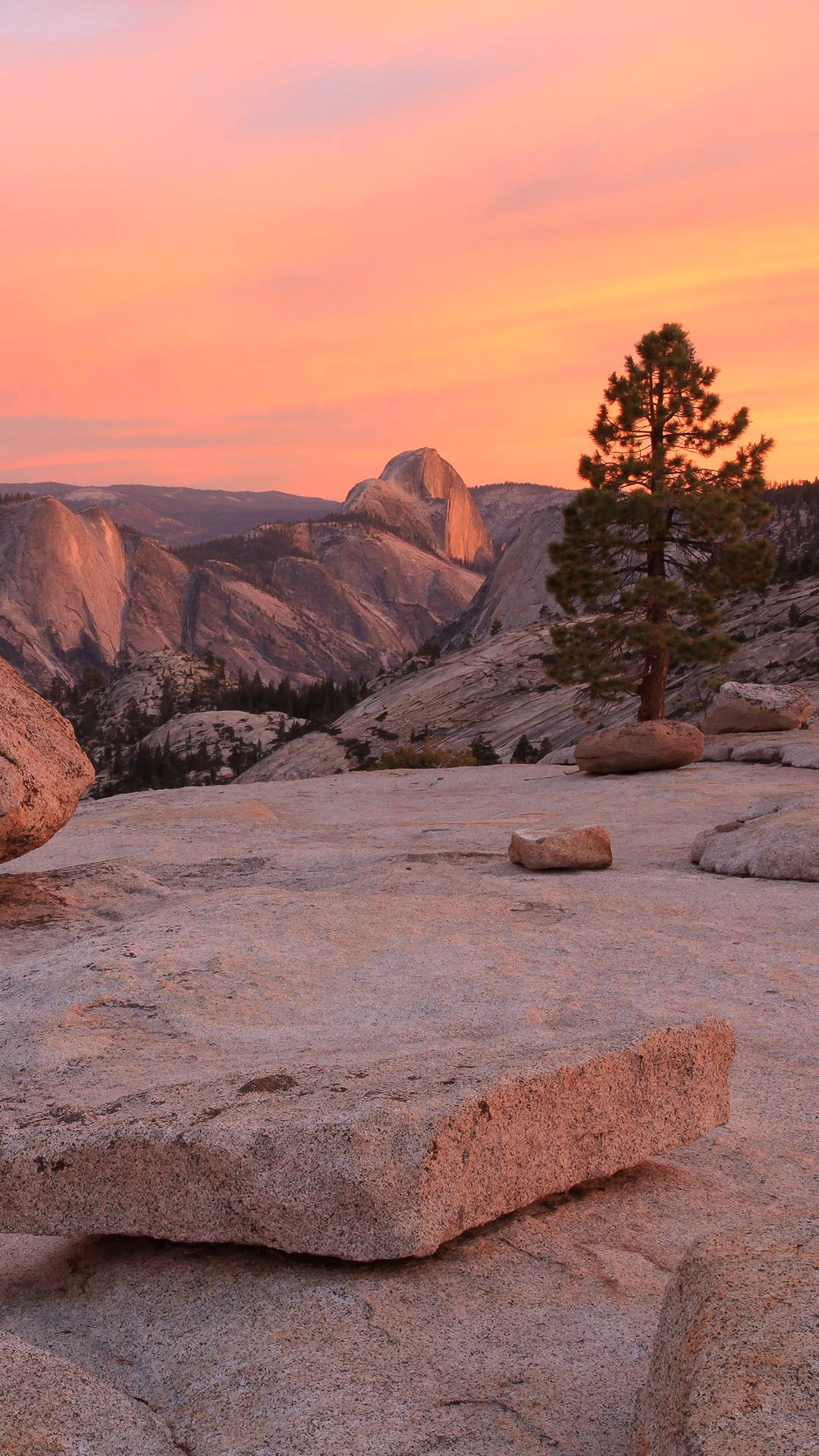
| en | • | Sunset from Olmsted Point, Yosemite National Park, California, United States |
| • | Sunset from Olmsted Point, Yosemite National Park, California, USA | |
| fr | • | Coucher de soleil vu depuis Olmsted Point, Parc national de Yosemite, Californie, États-Unis |
| it | • | Tramonto da Olmsted Point, Parco Nazionale di Yosemite, California, USA |
| ja | • | オルムステッド・ポイント, 米国 カリフォルニア州 |
| zh | • | 奥姆斯特德观景点的日落,优胜美地国家公园,加利福尼亚州,美国 |
| (© Robb Hirsch/Tandem Stills + Motion) |
Yosemite National Park, California, United States
In 1890, Yosemite became America's third national park. More than a century later, it still feels like a place that operates on geological time rather than human schedules. From Olmsted Point, the overlook in today's image, that timescale is impossible to miss. The smooth granite underfoot was sculpted by glaciers, while scattered boulders known as glacial erratics were carried here by ice and abandoned when it melted.
The view also turns some of Yosemite's most famous landmarks inside out. Half Dome, usually seen rising above Yosemite Valley, reveals its sheer north face from here, making the familiar icon look almost unfamiliar. Beyond it lie Tenaya Canyon, Clouds Rest, Tenaya Lake and pale stone that records millions of years of uplift, erosion and ice. Named for landscape architect Frederick Law Olmsted and his son, Frederick Law Olmsted Jr., whose conservation work helped shape America's park movement, Olmsted Point offers a reminder that Yosemite is not just scenic; it is a landscape still telling its story in stone.


| 2026‑10‑01 ‑ | Brazil |
|---|
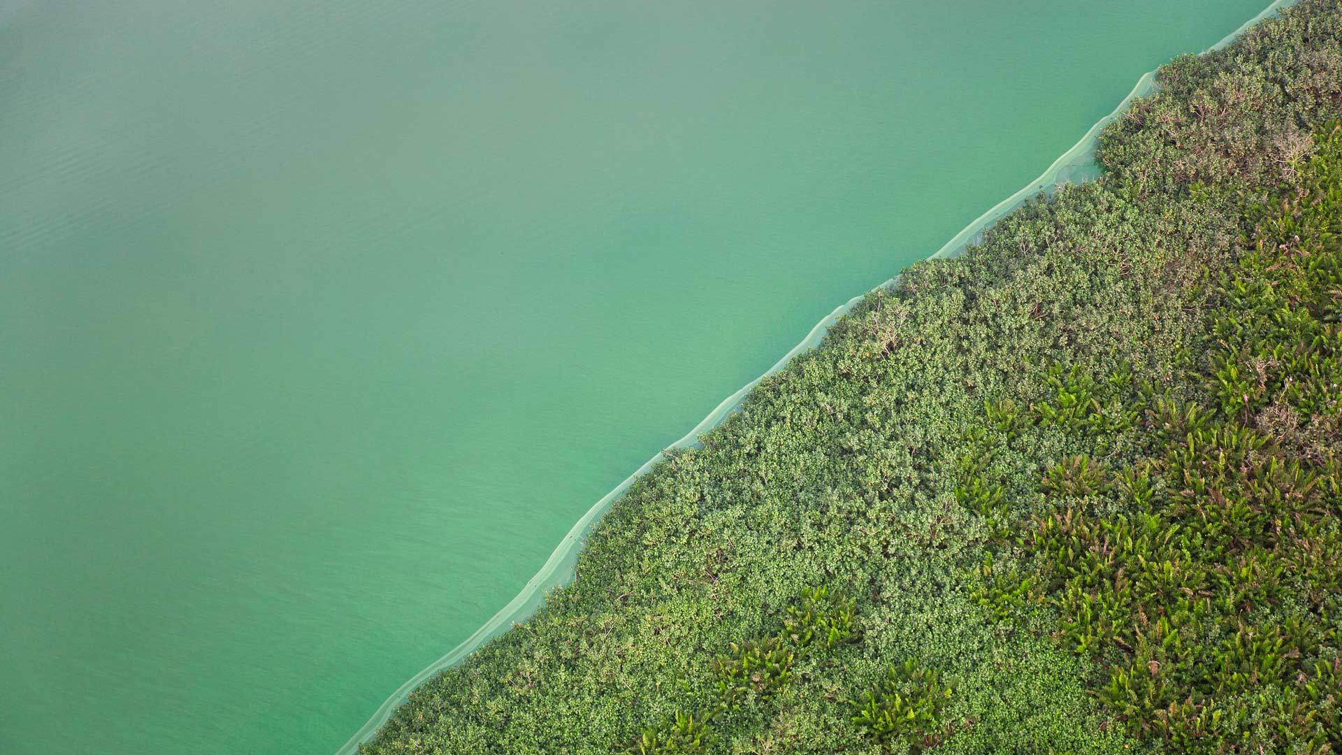
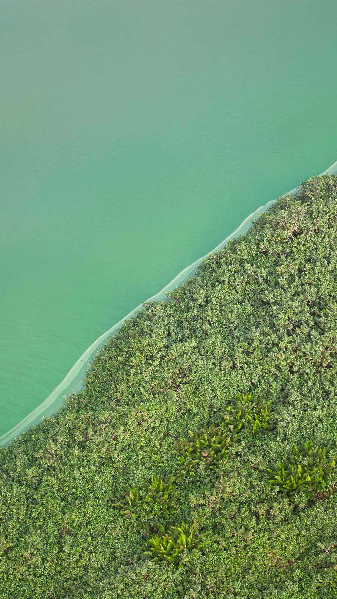
| pt | • | Vista aérea da Lagoa Verde, Angra dos Reis, Rio de Janeiro |
| (© Avalon/Getty Images) |
Aerial view of Lagoa Verde, Angra dos Reis, Rio de Janeiro
There are places that change with the seasons. Lagoa Verde prefers to follow the tide. Between Ilha Grande and Ilha da Longa, in Angra dos Reis, Rio de Janeiro, tides, currents and relief create a scenario that changes throughout the day. At low tide, the water can recede enough to reveal a narrow strip of sand and rocks connecting the two islands. For a few hours, the map simply gains another design.
But the most surprising detail is not on the surface. The shallow and transparent waters work as a natural showcase, revealing colorful fish, starfish, seahorses, turtles and corals even for those who don't dive. Interestingly, Lagoa Verde is not even the official name of the place. The geographical name is Ilha da Longa, but the combination of emerald green waters and greenish corals ended up speaking louder. The nickname was so good that no one seems to want to return it to the registry office.

| 2026‑10‑01 ‑ | United Kingdom |
|---|
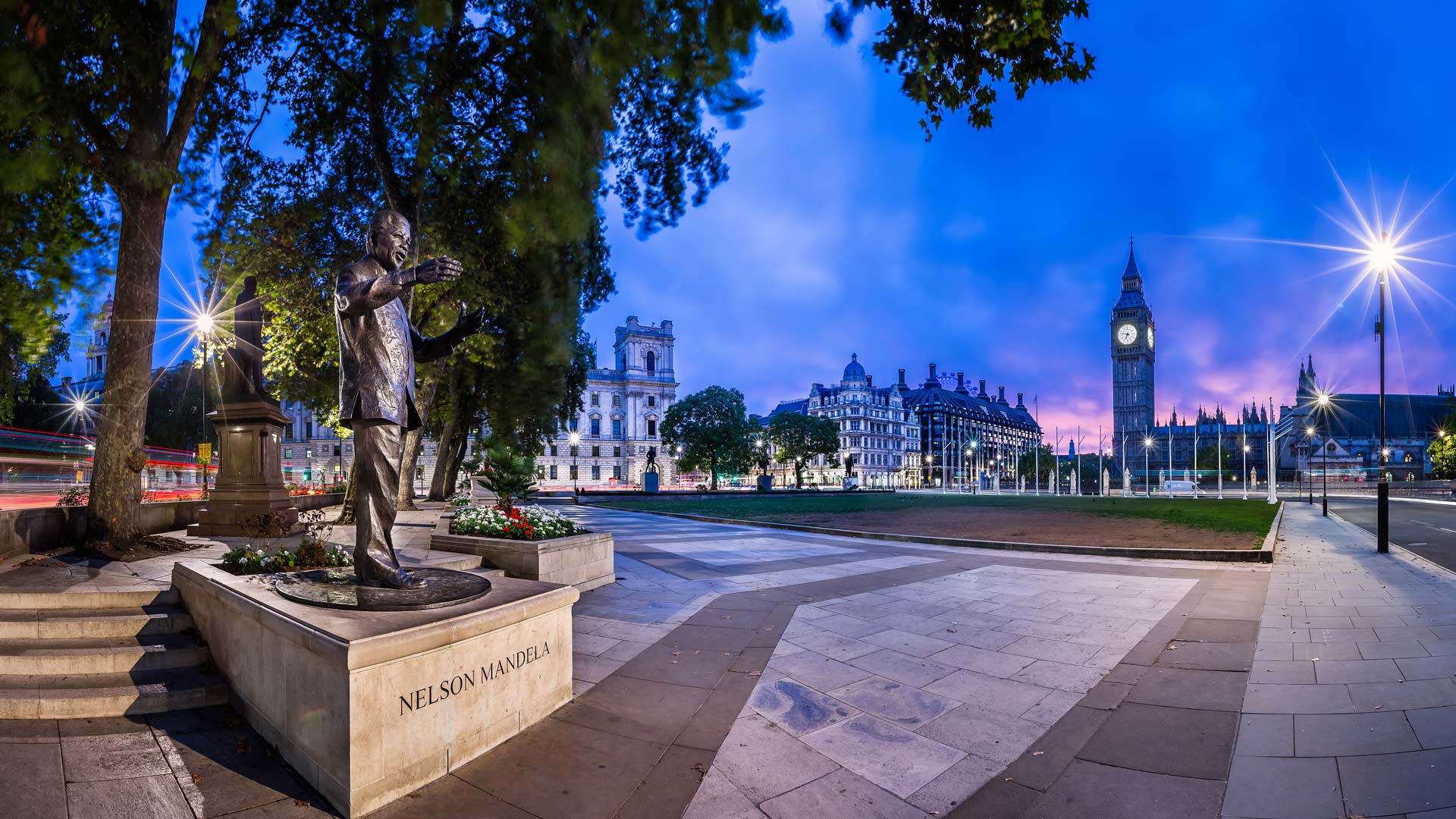
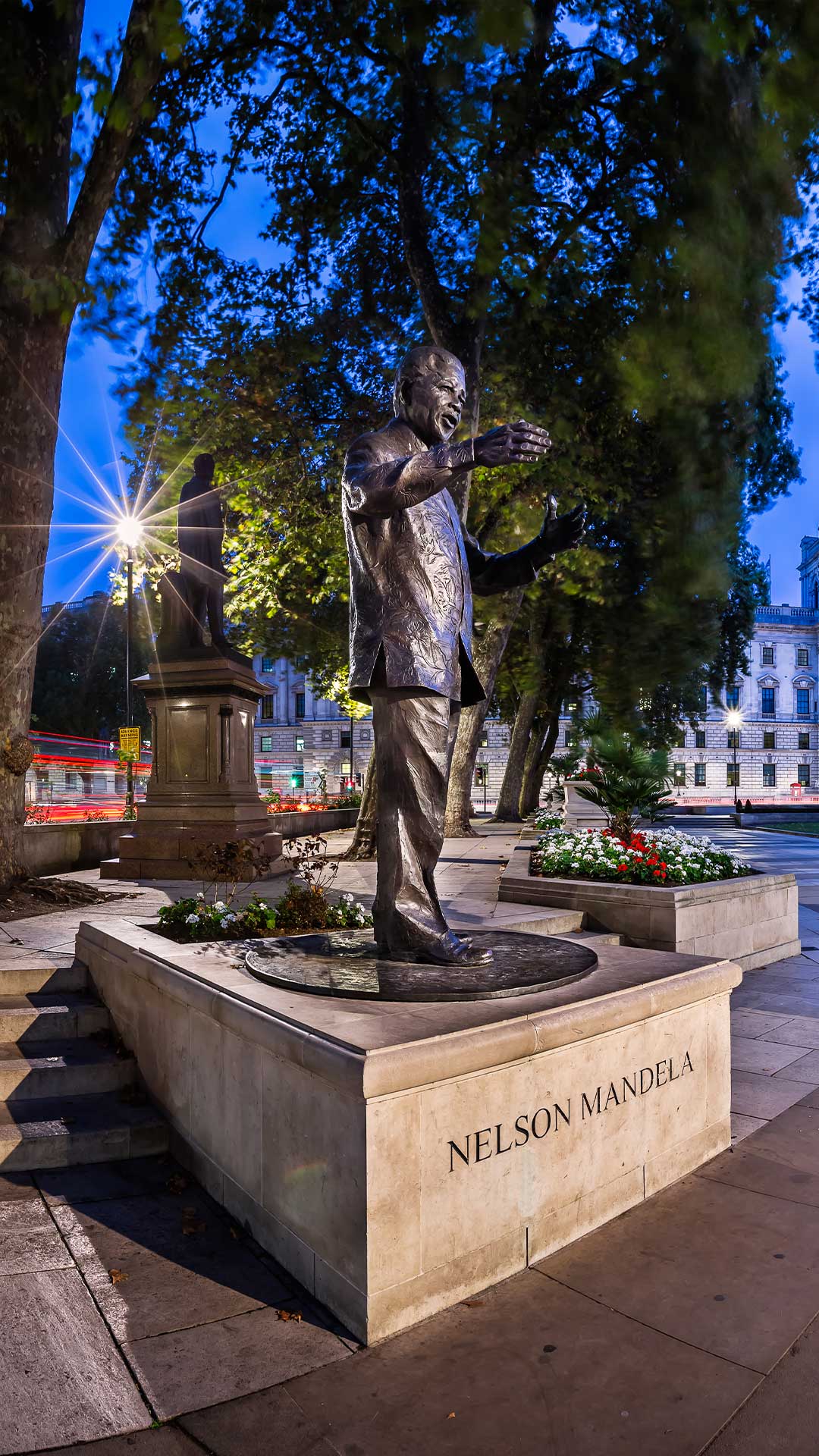
| en | • | Panorama of Parliament Square and Nelson Mandela memorial, London |
| (© ansharphoto/Shutterstock) |
Black History Month
What happens when a man once left out of the picture becomes part of its most important frame? Look to London's Parliament Square, where Nelson Mandela stands among monuments to political giants. Sculpted by Ian Walters and unveiled in 2007, the bronze statue has a remarkable connection to Mandela's history. In 1962, Mandela and Oliver Tambo visited Parliament Square and noticed that no Black person was represented among its monuments. Decades later, Mandela took his place there.
The timing feels fitting for Black History Month, held every October. Launched in 1987 by Ghanaian activist Akyaaba Addai-Sebo, the event was inspired by the American tradition established by historian Carter G Woodson. This month was chosen partly to coincide with the new school year and traditional African gatherings focused on community and learning.
The first United Kingdom celebration coincided with the 150th anniversary of emancipation in the Caribbean. Today, each October brings a new national theme—keeping Black history firmly in the picture.

| 2026‑10‑01 ‑ | France |
|---|---|
| 2026‑09‑20 ‑ | International / Brazil / Canada ‑ English / Canada ‑ French / China / Germany / India / Japan / Spain / United Kingdom / United States |
| de | • | Eiffelturm bei Sonnenuntergang, Paris, Frankreich |
| en | • | Eiffel Tower at sunset, Paris, France |
| es | • | Torre Eiffel al atardecer, París, Francia |
| fr | • | La tour Eiffel au coucher de soleil, Paris |
| • | La tour Eiffel au coucher de soleil, Paris, France | |
| ja | • | パリ, フランス |
| pt | • | Torre Eiffel ao pôr do sol, Paris, França |
| zh | • | 日落时分的埃菲尔铁塔,巴黎,法国 |
| (© Alexander Spatari/Getty Images) |
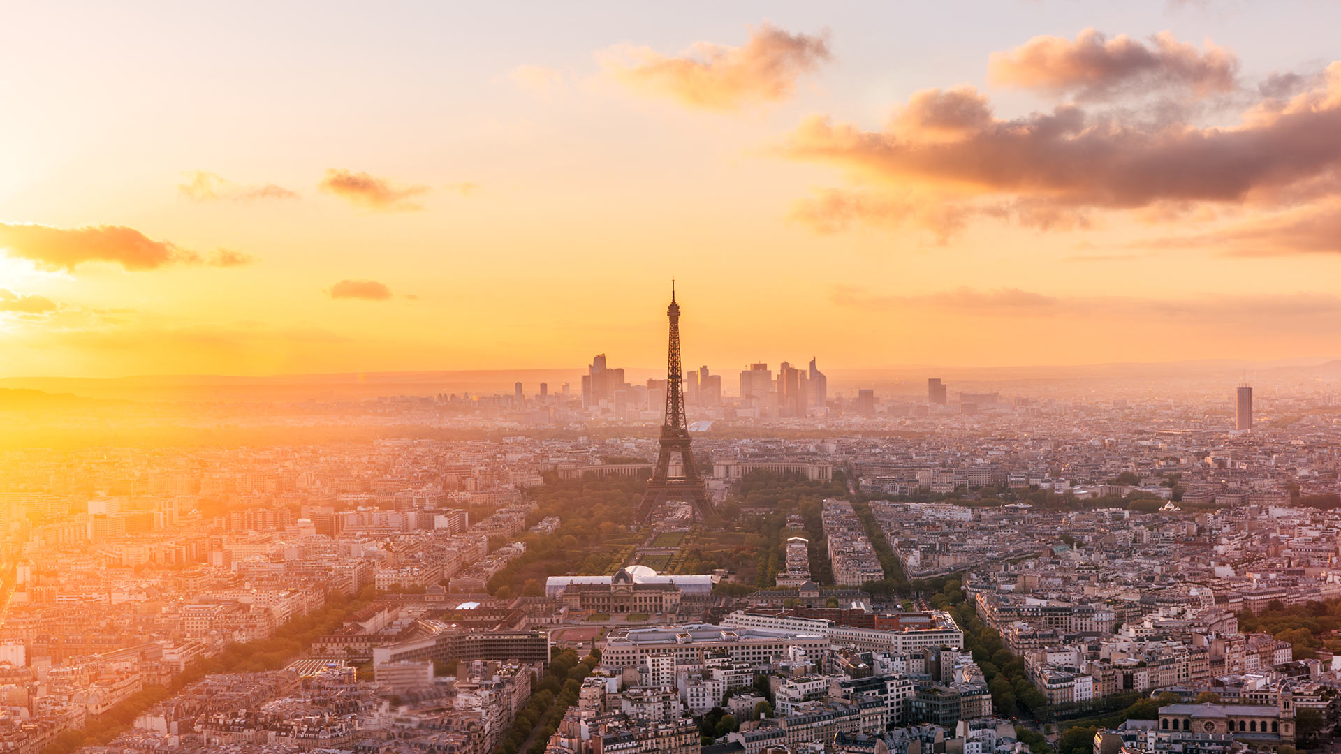
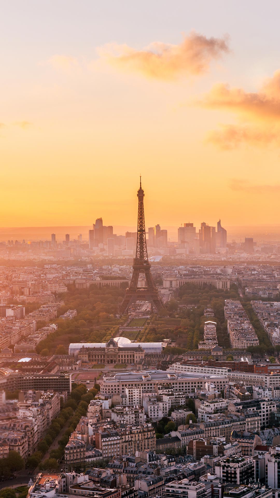
Eiffel Tower at sunset, Paris, France
No other city is nearly as romanticised as Paris. Yet the French capital's history has not always been as rosy as the sunset glowing behind the Eiffel Tower. Built for the 1889 Exposition Universelle, or the World's Fair, which marked the centennial of the start of the French Revolution, the tower was originally intended to serve as the fair's entrance centrepiece. Designed by engineer Gustave Eiffel and his team, the iron landmark rose 300 metres above the Champ de Mars and became the tallest structure in the world at the time.
Many locals criticised the bold design, but it quickly captured the public's imagination. During the World's Fair, millions came to see the monument and enjoy panoramic views unlike any they had experienced before.
Today, visitors can stroll along the Seine and explore old neighbourhoods and museums throughout a city that continues to reinvent itself. As evening falls and the Eiffel Tower glows against the night sky, it remains a powerful symbol of French creativity, ambition and resilience.