Bing daily wallpapers
page 4 / 20
| 2026‑10‑03 ‑ | Canada ‑ English / Canada ‑ French |
|---|
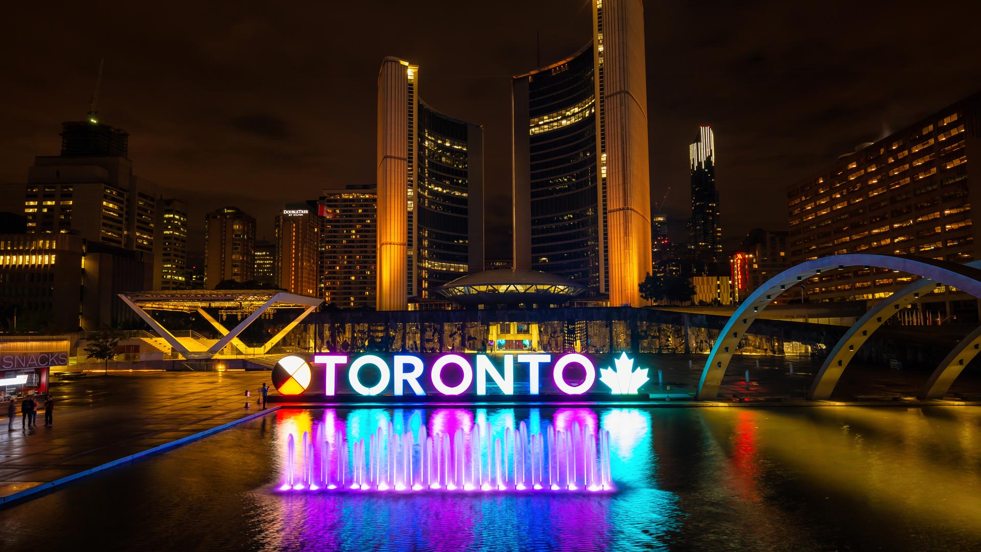
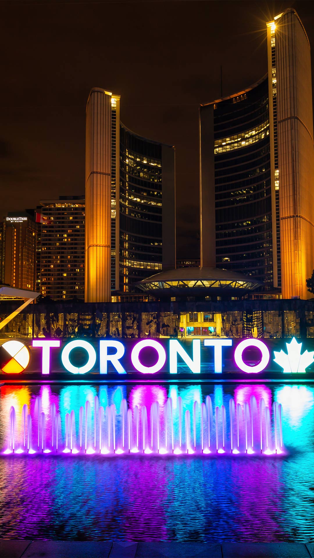
| en | • | Toronto City Hall illuminated at night |
| fr | • | Hôtel de ville de Toronto illuminé la nuit |
| (© EB Adventure Photography/Shutterstock) |
20th Nuit Blanche Toronto
Toronto has a rather unusual plan for tonight: keep the city awake and fill it with art. Nuit Blanche is returning for its 20th anniversary, turning public spaces and cultural venues into an all-night exhibition. The festival began in 2006, inspired by the overnight Nuit Blanche concept that originated in Paris in 2002. Since then, Toronto has presented almost 1,800 installations by about 6,350 artists.
This year's theme, 'Tomorrow's Memories,' takes a look backwards while imagining what comes next. It brings back selected works from previous editions alongside new projects exploring memory, nostalgia and change.
Toronto City Hall and Nathan Phillips Square are part of the programme. Couzyn van Heuvelen's 'Avataq' returns to Nathan Phillips Square, while Brendan Fernandes' 'On Flashing Lights' takes over the City Hall underground parking garage. Kelly Mark, Shelley Niro, Hiba Abdallah, Rhonda Weppler and Trevor Mahovsky are also participating artists. So, step out after dark, follow the art and see where the night takes you. Just remember, tonight's gallery doesn't close at 5 pm.



| 2026‑10‑03 ‑ | Germany |
|---|
| de | • | Brandenburger Tor, Berlin |
| (© almir1968/Getty Images) |
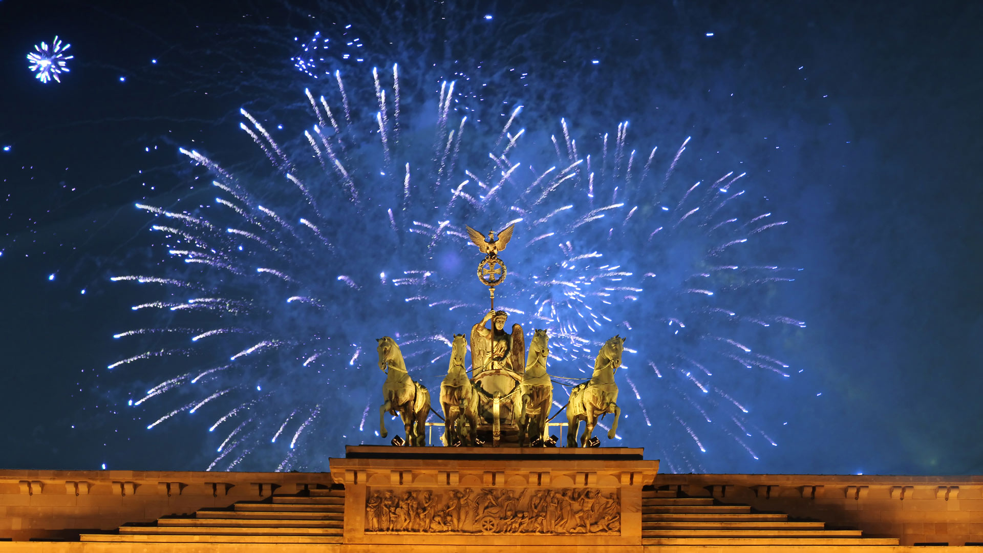
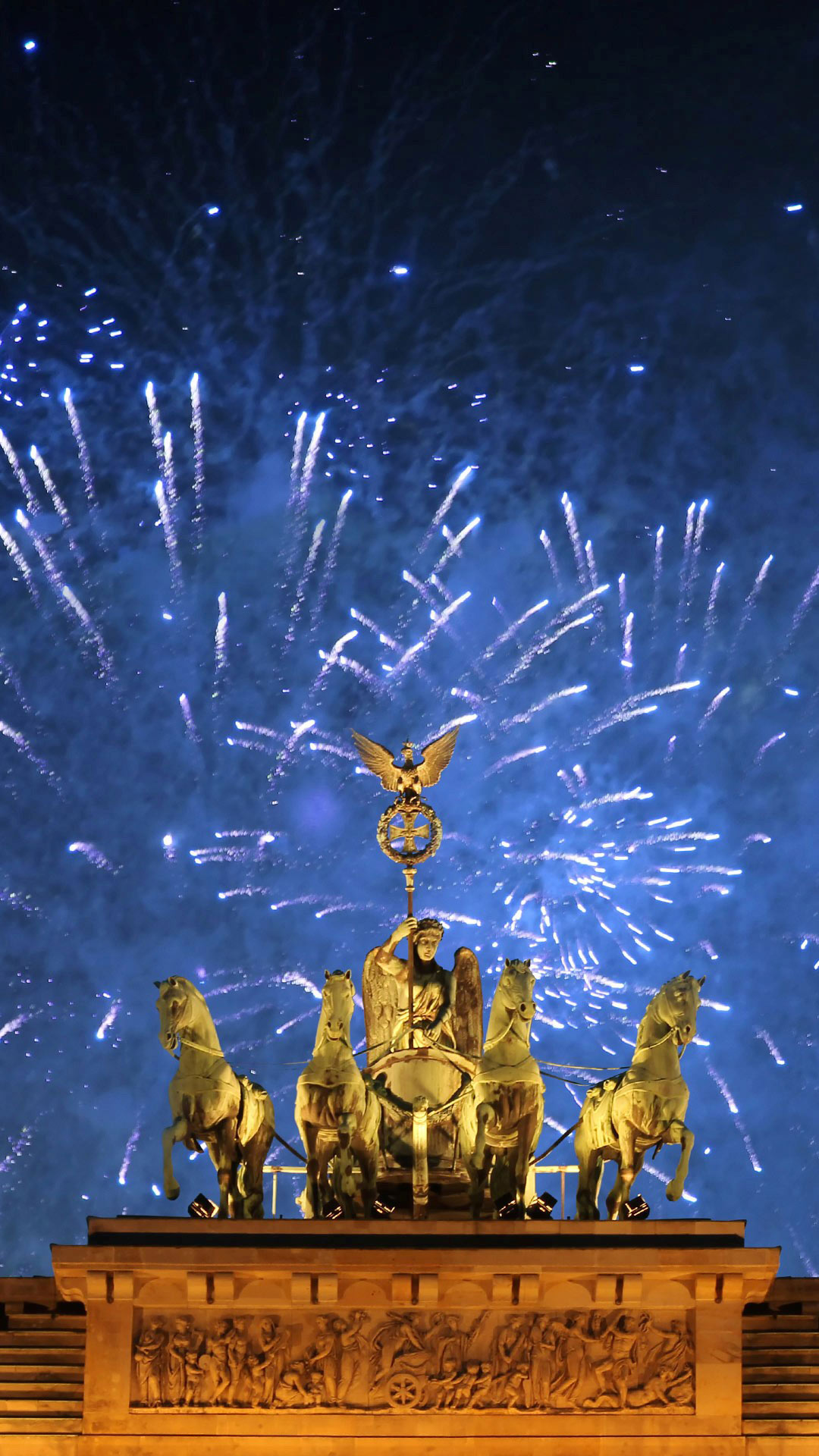
Day of German Unity
Today, Germany is all about unity. October 3 commemorates reunification in 1990 and a historic moment that still shapes the country today. Today's picture shows the Quadriga on the Brandenburg Gate in Berlin in front of fireworks. During the division of Germany, the Brandenburg Gate became a symbol of the border between East and West. Access was blocked for decades before it became a symbol of freedom again after the fall of the Berlin Wall. Today, the landmark stands for cohesion and a united Germany.
The central celebrations will take place in Bremen in 2026. Under the motto "STRENGTHEN MANY – ONE COUNTRY", the Hanseatic city will focus on Germany's diversity. Concerts, cultural events and numerous opportunities to meet invite people from all parts of the country to join in the celebrations. In this way, the Day of German Unity combines the memory of the past with a look into the future and the many strengths that make up Germany.

| 2026‑10‑03 ‑ | Japan |
|---|
| ja | • | アンモナイトの化石 |
| (© J Nemchinova/Getty Images) |
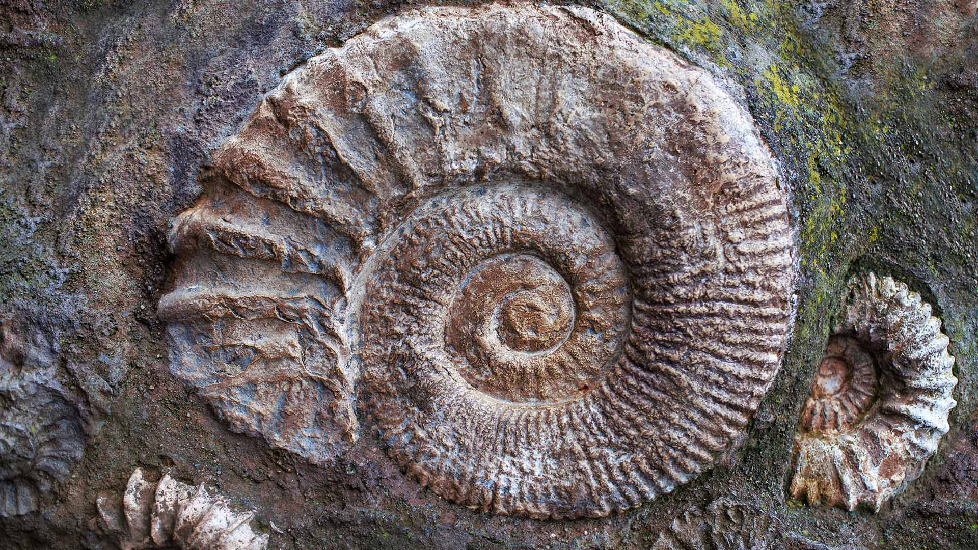
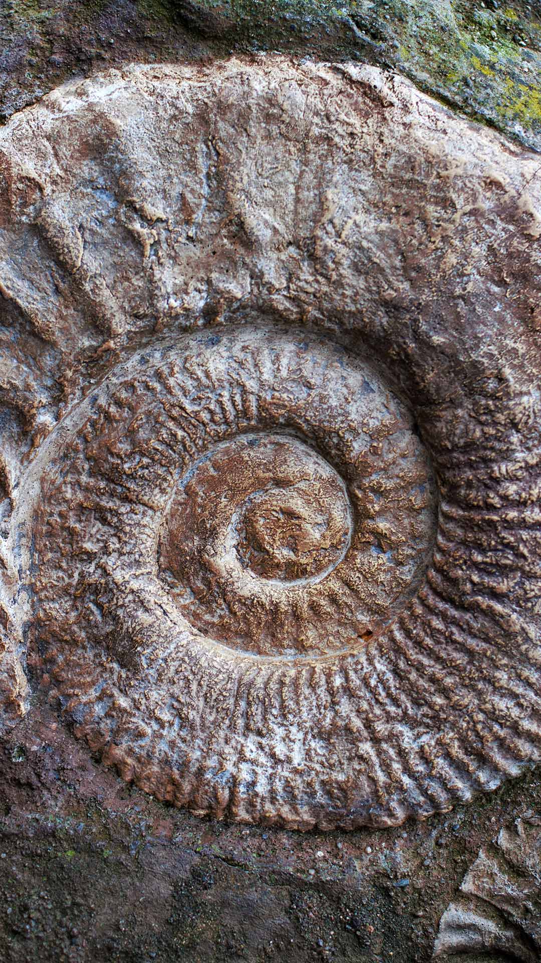
Ammonite fossils from the Jurassic Period
How do we know what Earth looked like long before humans appeared? Fossils provide many clues. Palaeontological discoveries help scientists reconstruct past environments, trace the evolution of life and learn about creatures that vanished millions of years ago. From dinosaurs to tiny marine organisms, these remnants of the past preserve snapshots of ancient worlds that no longer exist.
The coiled shells in today's image are the remains of ammonites from the Jurassic Period, when dinosaurs dominated the land and ancient seas teemed with marine life. Though they resembled modern nautiluses, ammonites were more closely related to squid and octopuses. Their chambered shells formed the distinctive spirals that make them some of the world's most recognisable fossils.
Ammonites disappeared alongside the non-avian dinosaurs about 66 million years ago, but they remain invaluable to scientists. Their widespread presence helps researchers date ancient rocks and understand prehistoric seas. Preserved in stone, these shells offer a window into a vanished world.

| 2026‑10‑02 ‑ | International / Canada ‑ English / China / Japan / Spain / United Kingdom / United States |
|---|
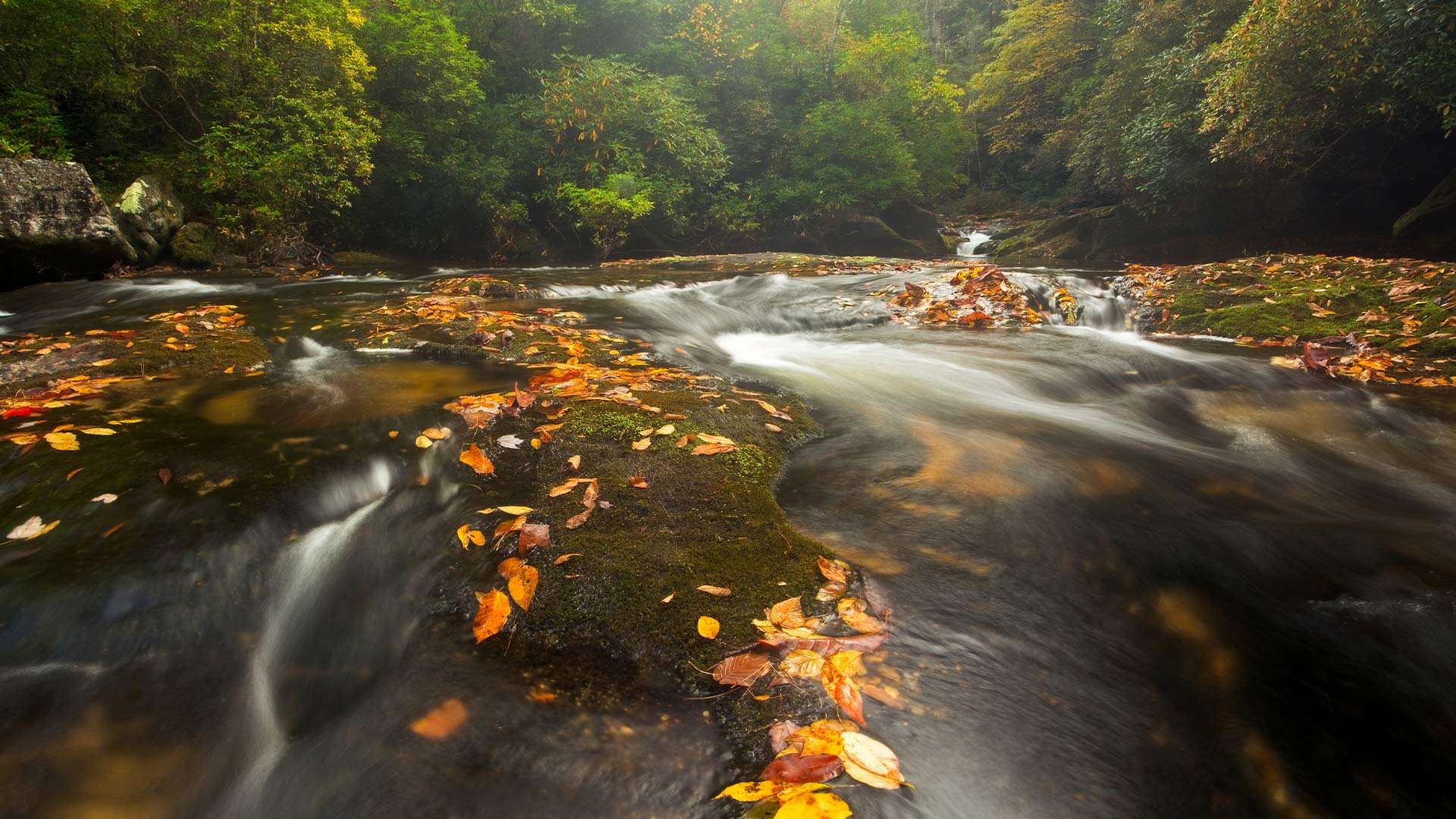
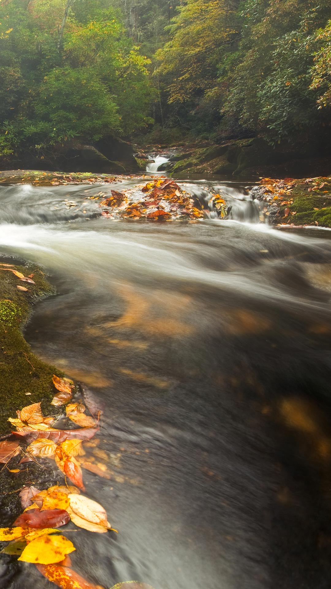
| en | • | Chattooga River in the Appalachian Mountains, North Carolina |
| • | Chattooga River in the Appalachian Mountains, North Carolina, United States | |
| es | • | Río Chattooga en los montes Apalaches, Carolina del Norte, EE. UU. |
| ja | • | チャトゥーガ川, 米国 ノースカロライナ州 |
| zh | • | 查图加河,阿巴拉契亚山脉,北卡罗来纳州,美国 |
| (© mtilghma/Getty Images) |
Chattooga River in North Carolina, United States
Rivers have long played an important role in life across the world, supporting communities, wildlife and industry. Featured in today's image, the Chattooga River runs for about 92 kilometres across Georgia, North Carolina and South Carolina in the United States. Flowing through the Appalachian Mountains, it winds between steep, forested slopes, rocky gorges and cascading rapids before reaching Lake Tugaloo. The river remains one of the Southeast's few major free-flowing rivers and is known for its scenery, whitewater recreation and wildlife.
The river corridor is home to a variety of plant and animal species, while its waters support activities such as trout fishing, rafting, kayaking and canoeing. Often called the crown jewel of the Southeast, the Chattooga offers everything from quieter stretches and deep pools to powerful rapids and waterfalls. It also has a literary connection: the river was the model for the fictional Cahulawassee River in James Dickey's 1970 novel 'Deliverance.' The 1972 film adaptation was also filmed along parts of the Chattooga.


| 2026‑10‑02 ‑ | Brazil |
|---|
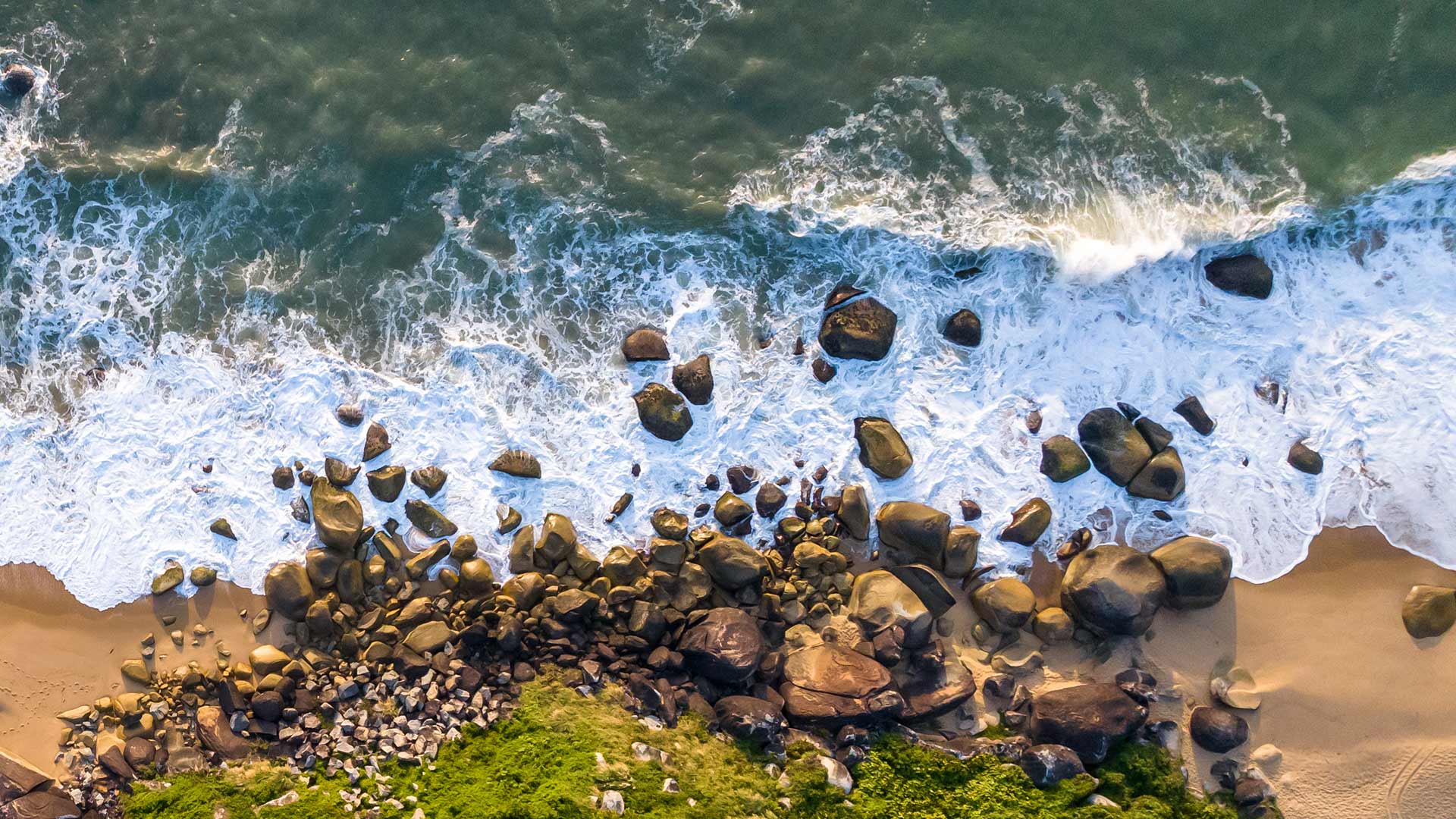
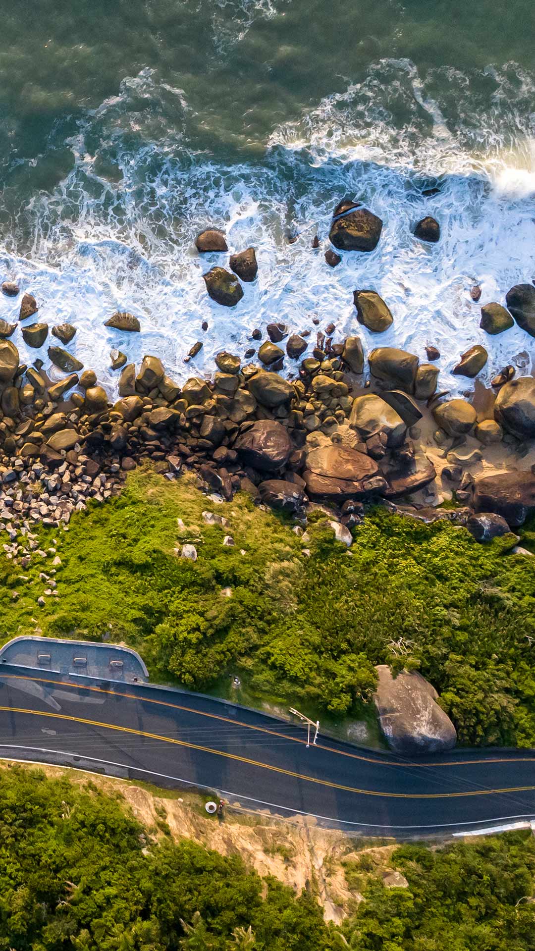
| pt | • | Praia de Taquaras no Balneário Camboriú, Santa Catarina |
| (© MaRabelo/Getty Images) |
Taquaras Beach, Balneário Camboriú, Brazil
On Brazil's southern coast, Taquaras Beach offers a quieter escape in Balneário Camboriú, Santa Catarina. Clear blue-green waters meet a broad stretch of golden sand, backed by lush vegetation and rolling green hills. Away from the livelier atmosphere of the city centre, the beach is known for its peaceful surroundings and natural beauty. With its inviting shoreline, rich greenery and unspoilt feel, Taquaras showcases a calmer side of this popular Brazilian coastal destination.

| 2026‑10‑02 ‑ | Italy |
|---|
| it | • | L'acquedotto medievale di Perugia, Umbria, Italia |
| (© Marco Saracco/Getty Images) |
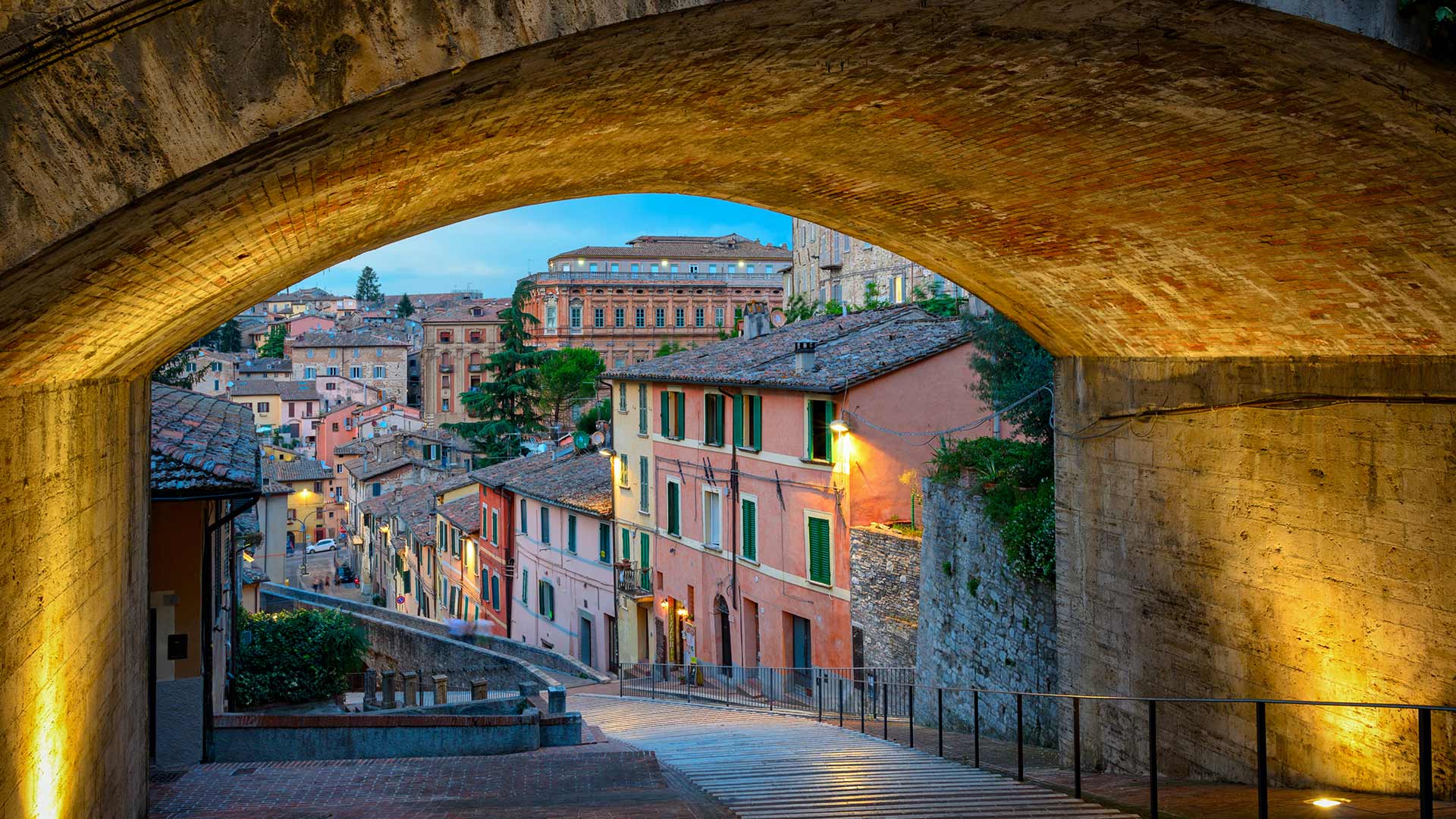
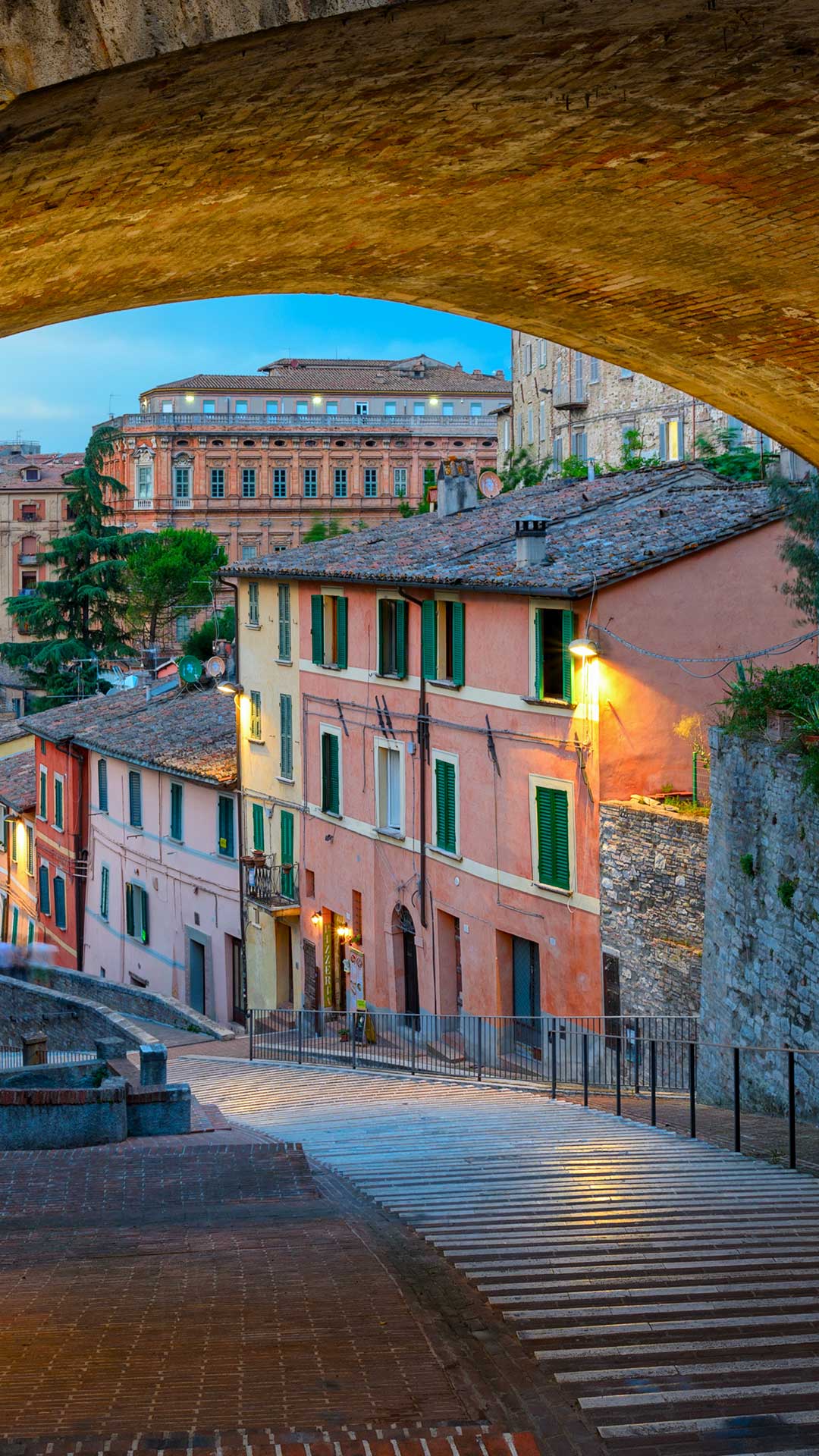
Medieval Aqueduct, Perugia, Italy
Perugia has a walkway with a story beneath every step: its medieval aqueduct. Construction began in 1254, and by around 1280, the aqueduct was carrying water from Monte Pacciano to the Fontana Maggiore in the city centre. The clever bit? Engineers found a way to make the water flow uphill. Using a pressurised conduit, the system overcame the city's steep terrain—an impressive feat of medieval engineering.
The aqueduct was eventually decommissioned in 1835, but its final urban section found a new lease of life. Today, it forms a pedestrian walkway above the rooftops, connecting the Porta Sant'Angelo district with Perugia's historic centre. Stone arches, railings and glimpses of courtyards add plenty of character to the route. It may no longer carry water, but this centuries-old structure still knows how to make a stroll memorable—one step and rooftop view at a time.