Bing daily wallpapers
page 1 / 20
- 2026-10-13 15:00 UTC
- Japan
- 2026-10-13 16:00 UTC
- China
- 2026-10-13 18:30 UTC =
- India
- 2026-10-13 22:00 UTC =
- France / Germany / Italy / Spain
► Preview of next homepage images ◄
► Random Windows SpotLight images ◄
| 2026‑10‑14 ‑ | China | 2026‑10‑03 ‑ | Japan |
|---|
| ja | • | アンモナイトの化石 |
| zh | • | 侏罗纪时期的菊石化石 |
| (© J Nemchinova/Getty Images) |
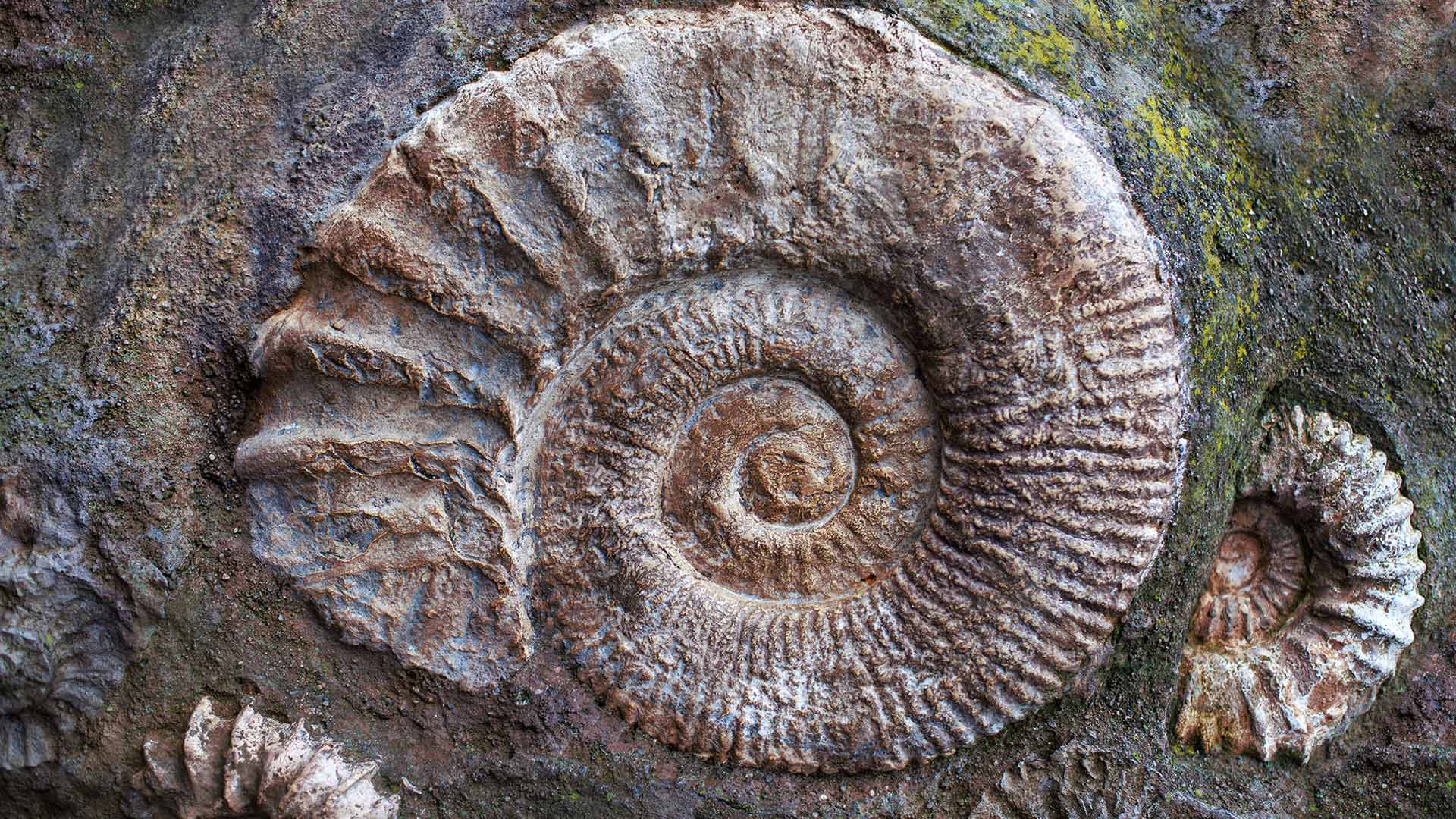
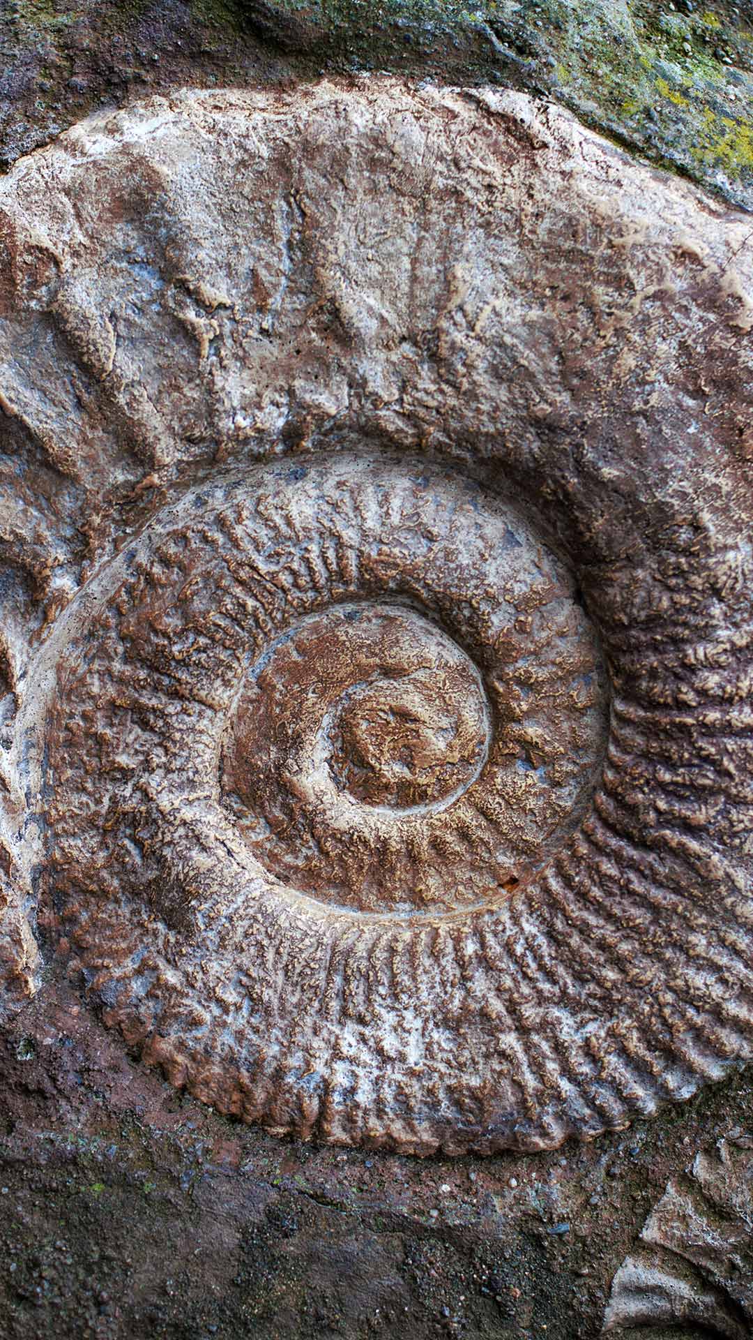
Ammonite fossils from the Jurassic Period
How do we know what Earth looked like long before humans appeared? Fossils provide many clues. Palaeontological discoveries help scientists reconstruct past environments, trace the evolution of life and learn about creatures that vanished millions of years ago. From dinosaurs to tiny marine organisms, these remnants of the past preserve snapshots of ancient worlds that no longer exist.
The coiled shells in today's image are the remains of ammonites from the Jurassic Period, when dinosaurs dominated the land and ancient seas teemed with marine life. Though they resembled modern nautiluses, ammonites were more closely related to squid and octopuses. Their chambered shells formed the distinctive spirals that make them some of the world's most recognisable fossils.
Ammonites disappeared alongside the non-avian dinosaurs about 66 million years ago, but they remain invaluable to scientists. Their widespread presence helps researchers date ancient rocks and understand prehistoric seas. Preserved in stone, these shells offer a window into a vanished world.


| 2026‑10‑14 ‑ | Japan |
|---|
| ja | • | 嵯峨野トロッコ列車, 京都府京都市 |
| (© giggsy25/Shutterstock) |
Today is Railway Day
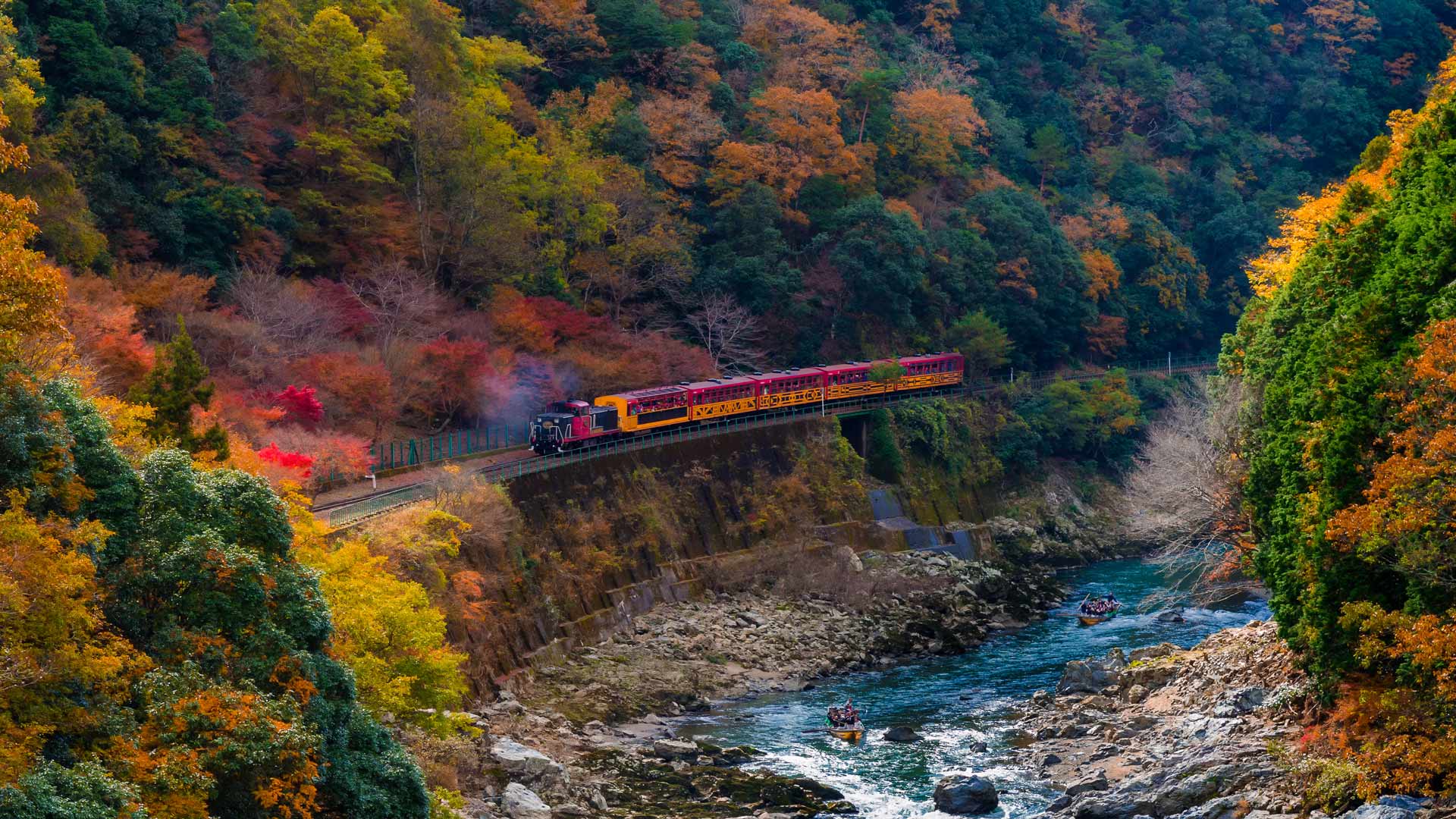
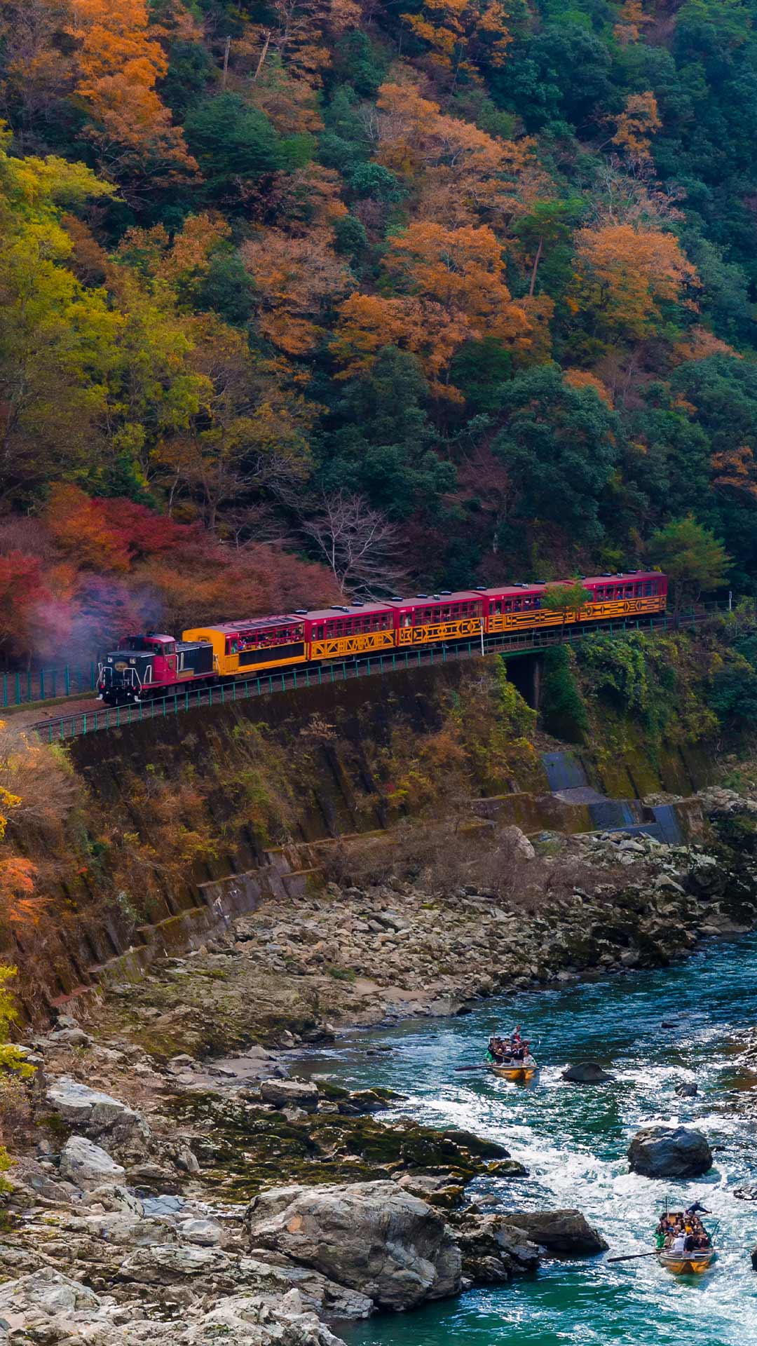
October 14th is "Railway Day." In 1872, the Ministry of Transport (now the Ministry of Land, Infrastructure, Transport and Tourism) established the ceremony in 1994 to commemorate the official opening of Japan's first railway between the original Shimbashi Station and Yokohama Station (now Sakuragicho Station). Today's image shows a trolley train running through Arashiyama, Kyoto. In Arashiyama in autumn, the Sagano Trolley Train slowly passes through the colorful mountains. The scenery woven by the Hozugawa River flowing through the valley and the autumn leaves has become a seasonal tradition that captivates many people.

| 2026‑10‑13 ‑ | International / Brazil / Canada ‑ English / Canada ‑ French / China / France / Germany / India / Italy / Japan / Spain / United Kingdom / United States |
|---|
| de | • | Nationalpark Plitvicer Seen, Kroatien |
| en | • | Plitvice Lakes National Park, Croatia |
| es | • | Parque Nacional de los Lagos de Plitvice, Croacia |
| fr | • | Parc national des lacs de Plitvice, Croatie |
| it | • | Parco nazionale dei laghi di Plitvice, Croazia |
| ja | • | プリトヴィツェ湖群国立公園, クロアチア |
| pt | • | Parque Nacional dos Lagos de Plitvice, Croácia |
| zh | • | 普利特维采湖群国家公园,克罗地亚 |
| (© Jan Wlodarczyk/Alamy) |
Plitvice Lakes National Park, Croatia
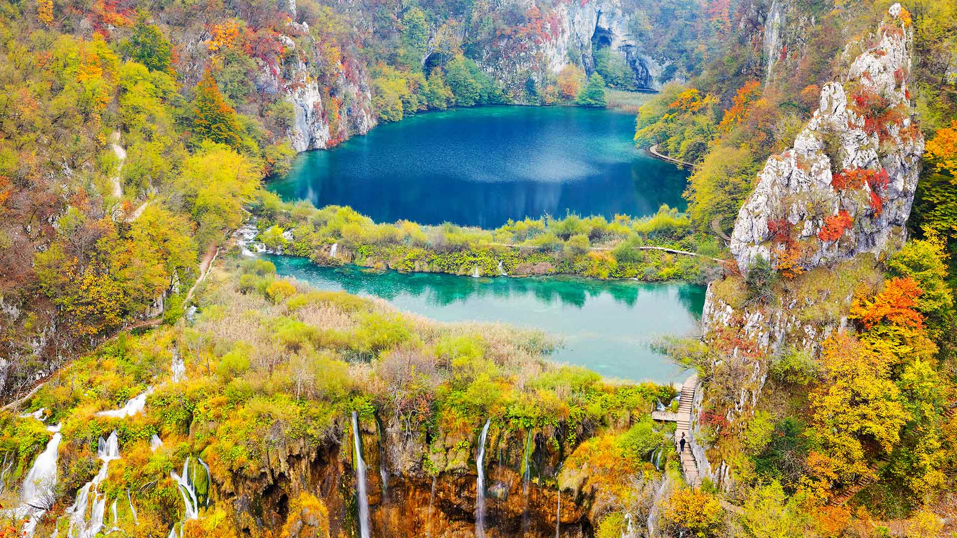
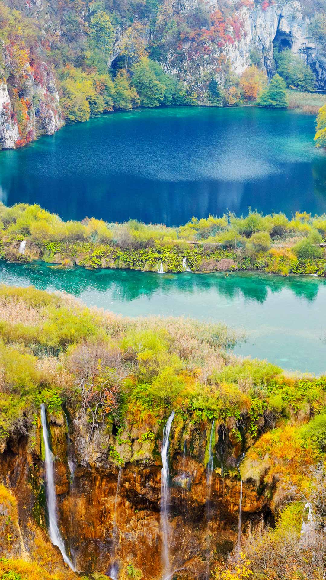
Water seems to be everywhere at Plitvice Lakes National Park in Croatia. Sixteen terraced lakes are linked by a network of waterfalls, streams and cascades that wind through forested limestone canyons. The constantly changing colours of the water, ranging from emerald green to deep blue, are shaped by minerals, sunlight and ever-changing reflections. Established in 1949, Plitvice Lakes is Croatia's oldest and largest national park. The landscape is famous for its tufa barriers, natural limestone formations created as mineral-rich water deposits calcium carbonate over centuries. These barriers continue to grow and change, gradually transforming the park's waterfalls and lakes.
Recognised as a UNESCO World Heritage Site in 1979, Plitvice protects one of Europe's most remarkable freshwater ecosystems. Wooden walkways weave across the water, bringing visitors close to cascades, tranquil pools and forested shores where nature continues to reshape the landscape. Here, lakes, waterfalls and woodlands come together in a scene that feels almost otherworldly.


| 2026‑10‑12 ‑ | International / China / France / Germany / India / Italy / United Kingdom |
|---|
| de | • | Mumbles Pier, Swansea, Wales |
| en | • | Mumbles Pier, Swansea, Wales |
| fr | • | Jetée de Mumbles, Swansea, Pays de Galles |
| it | • | Il pontile di Mumbles, Swansea, Galles |
| zh | • | 曼布尔斯码头,斯旺西,威尔士 |
| (© Helen Hotson/Shutterstock) |
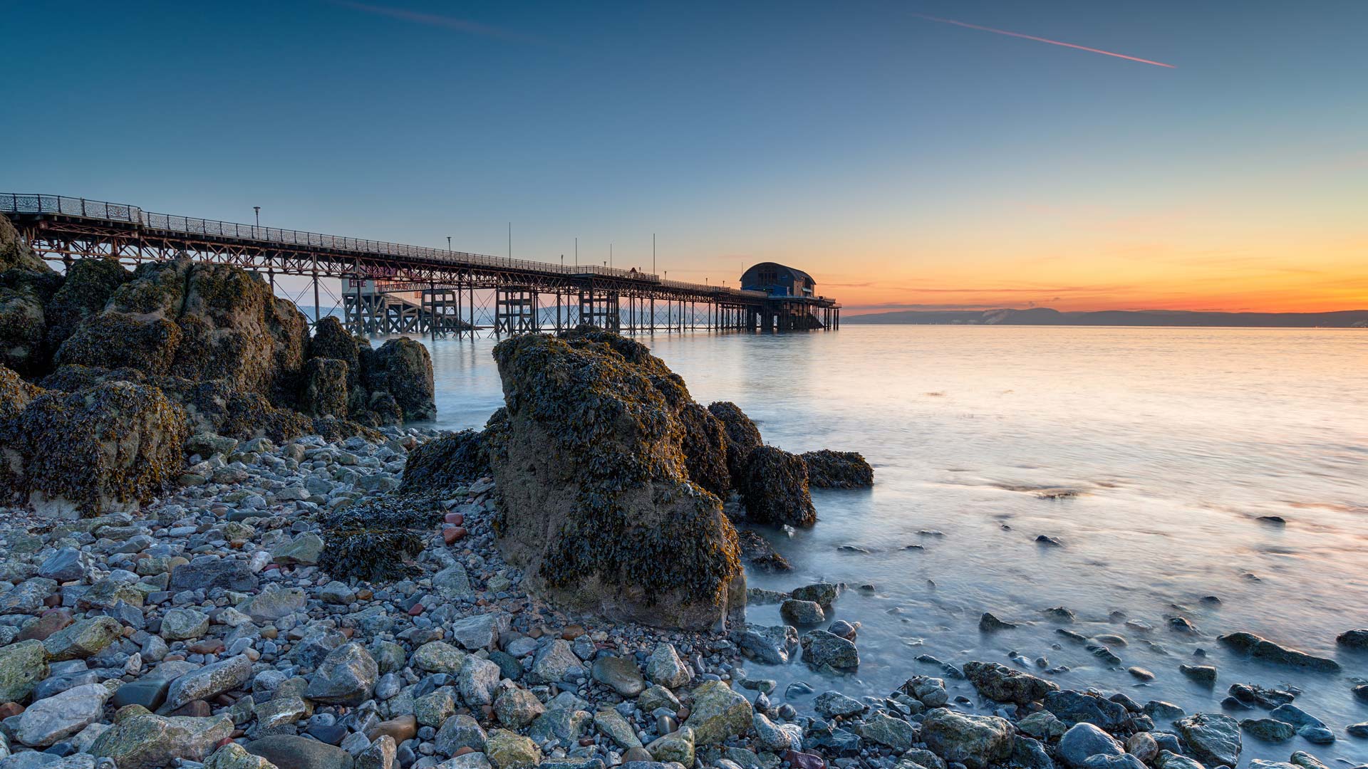
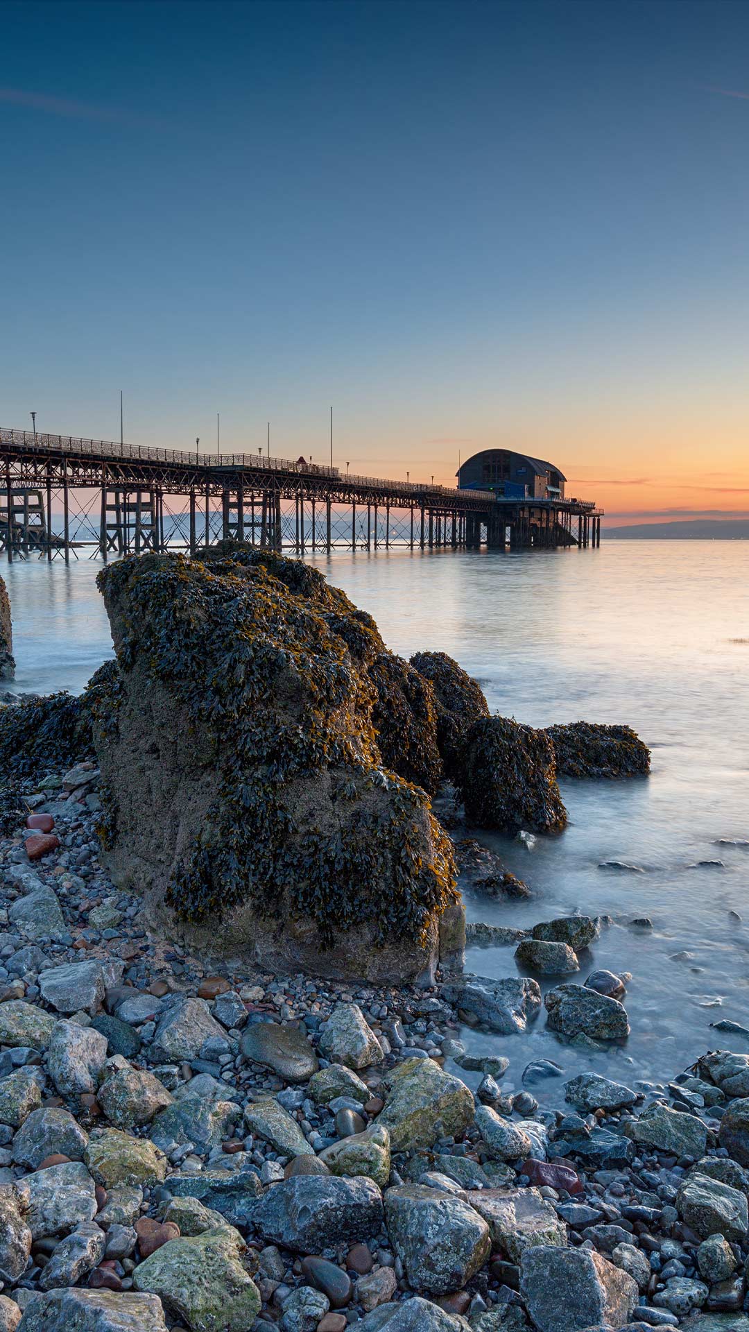
Mumbles Pier, Swansea, Wales
What do you get when a railway, a lifeboat station and a seaside day out meet at the water's edge? Mumbles Pier. Stretching 255 metres into Swansea Bay, this Victorian landmark opened on 10 May 1898 and has been part of the Welsh coast ever since.
The pier was the western terminal of the Swansea and Mumbles Railway, which is celebrated as the world's first regular passenger railway service. Today, the railway has disappeared, but the Grade II-listed pier remains one of only six surviving iron seaside piers in Wales. It is also among the small number of privately owned piers still operating in the United Kingdom. Nearby, the Big Apple—an apple-shaped kiosk—adds another quirky landmark.
An RNLI lifeboat station has operated here for over a century, while the area remembers the tragic 1947 Mumbles lifeboat disaster. More than 125 years on, Mumbles Pier still has plenty of pull.
| 2026‑10‑12 ‑ | United States |
|---|
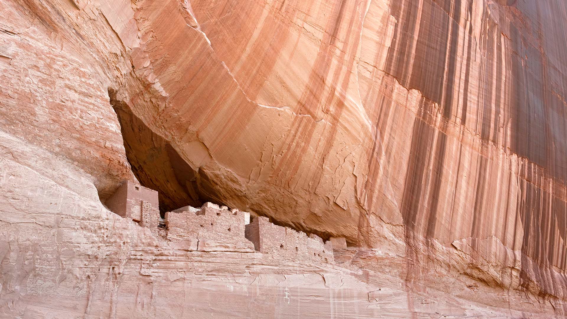
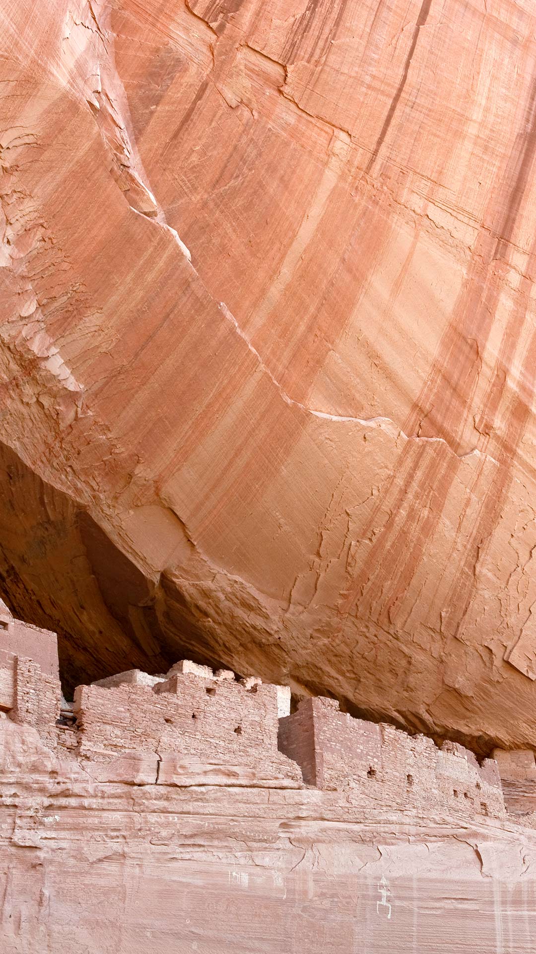
| en | • | White House Ruin at Canyon de Chelly National Monument in Arizona |
| (© Ingo Arndt/Minden Pictures) |
Indigenous Peoples' Day
Indigenous Peoples' Day honors the histories, cultures, and enduring contributions of Indigenous peoples across the United States. Observed by many communities on the second Monday in October, the day also invites reflection on the hardships Native peoples have faced and celebrates the resilience of Tribal Nations, whose languages, traditions, and knowledge continue to shape the country today.
That living heritage is reflected in today's image of the White House Ruin at Canyon de Chelly National Monument in northeastern Arizona. The cliff dwelling was built and occupied by Ancestral Puebloans between about 1060 and 1275, beneath the shelter of a towering sandstone alcove. Yet Canyon de Chelly is far more than an archaeological site. People have lived in these canyons for nearly 5,000 years, and Navajo (Diné) families still reside, farm, and raise livestock there.
The monument is located entirely within the Navajo Nation and is managed in partnership with the National Park Service. It connects generations of Indigenous history in one continuously inhabited landscape.
| 2026‑10‑12 ‑ | Canada ‑ English / Canada ‑ French |
|---|
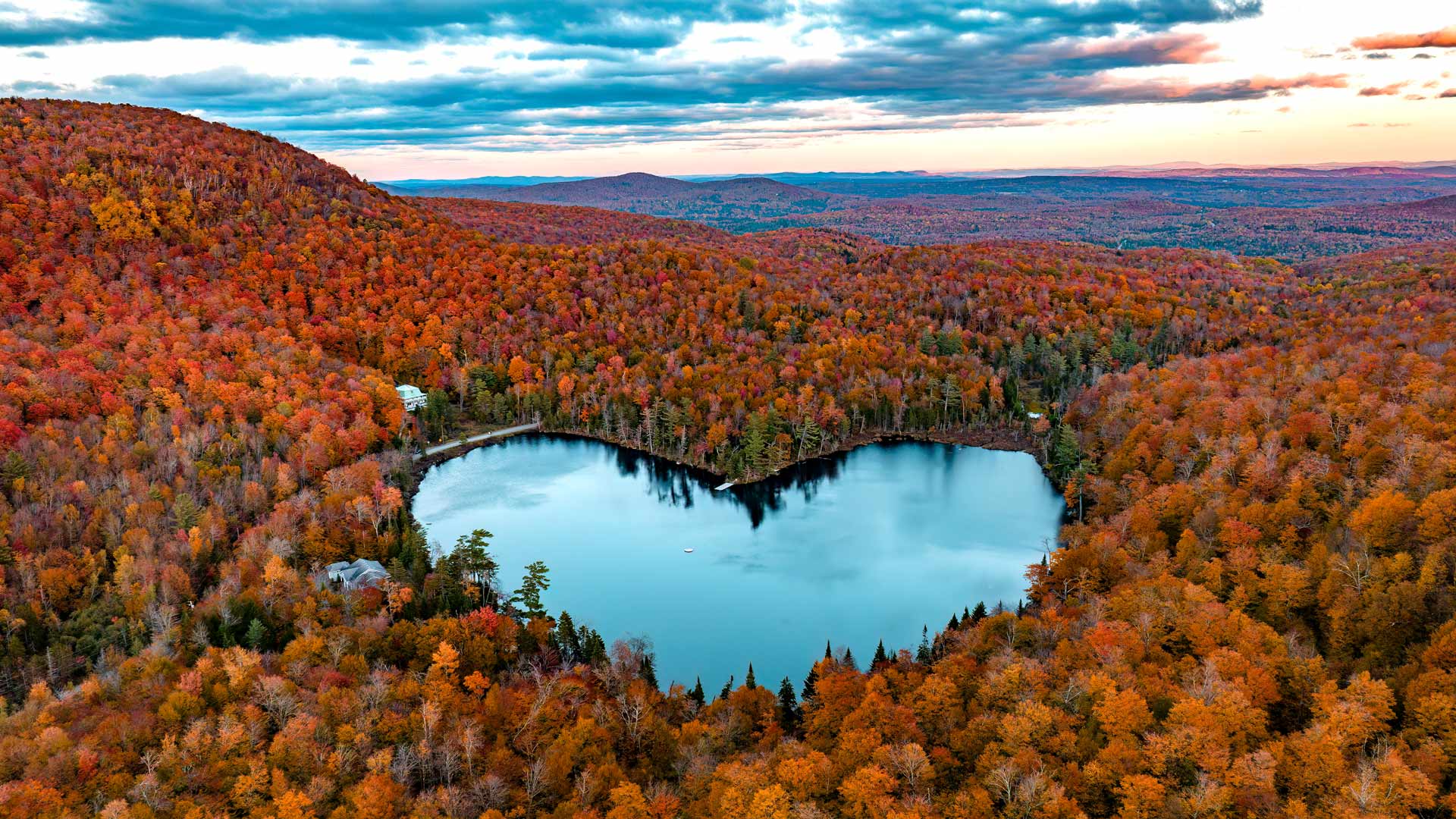
| en | • | Baker Lake near East Bolton, Quebec |
| fr | • | Lac Baker près d'East Bolton, Québec |
| (© SEBASTIEN ST-JEAN/Contributor/Getty Images) |
Thanksgiving Day
Pull up a chair, pass the pie and make some room for gratitude. Thanksgiving in Canada has a story that goes back much further than the holiday table. This holiday is rooted in harvest traditions, with people gathering to give thanks. Its history is not tied to one single event, although an early celebration is associated with English explorer Martin Frobisher. In 1578, after his expedition made a safe passage across the Atlantic and reached what is now Nunavut, Frobisher held a celebratory feast. Over time, Thanksgiving evolved into a national holiday centred on the harvest and spending time with loved ones.
Today, a shared meal might feature turkey, stuffing, vegetables, cranberry sauce and pumpkin pie, while the long weekend also offers time for visits, walks and catching up. Baker Lake near East Bolton, Quebec, provides a fitting autumn backdrop, with colourful trees reflected in the water. On a holiday about appreciating what we have, what are you thankful for?