Random Windows Spotlight images
page 7 / 10
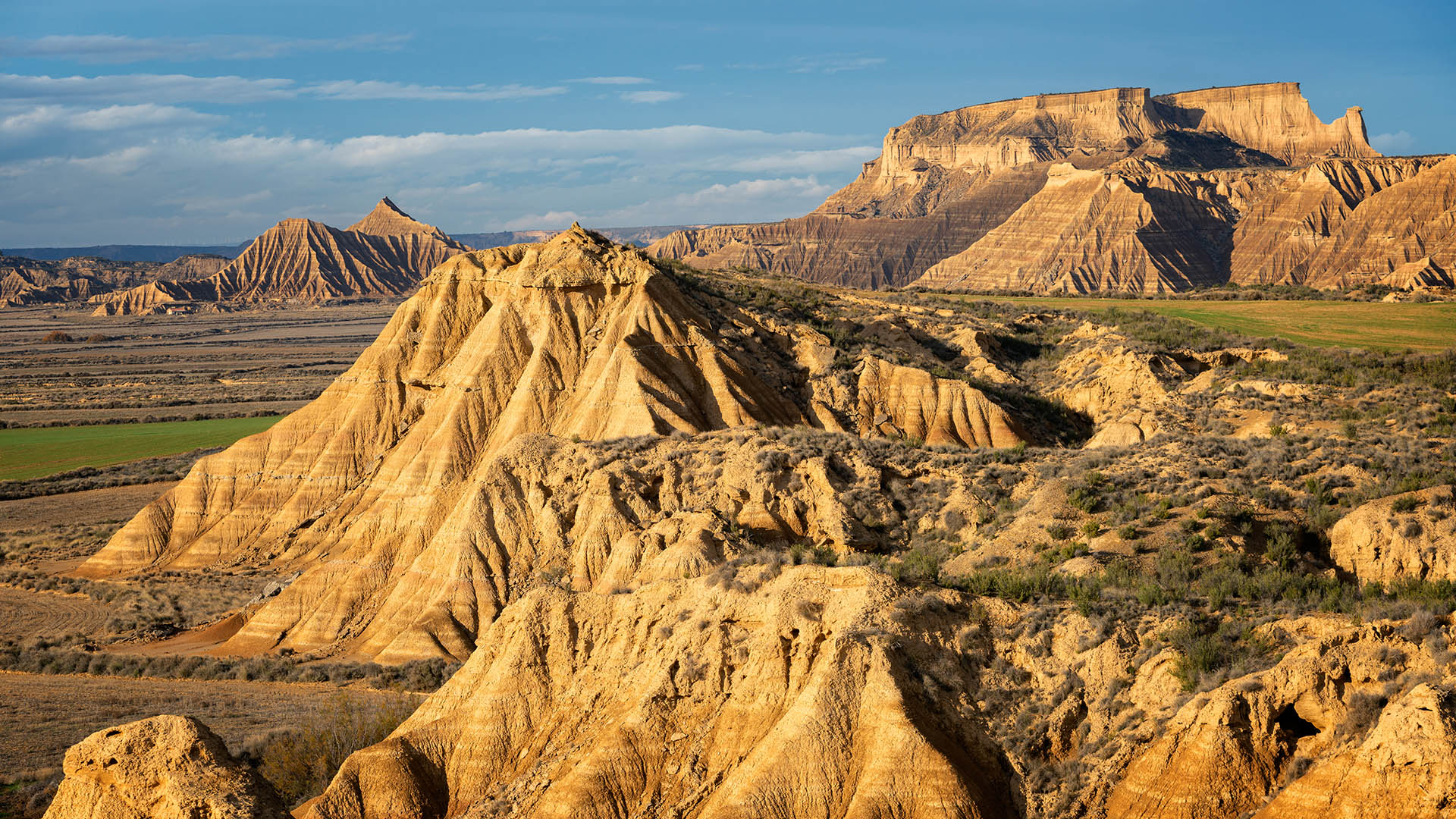
Bardenas Reales region of Navarre, Spain
Despite appearances, this desert scene is not a still from movie that’s set in the American West. Our image is from the Bardenas Reales, a region of badlands in Navarre, in the north of Spain. This place of lunar landscapes surfaced millions of years ago, when the inland sea that occupied this territory withdrew, leaving behind tons of sediment. The sediment layers later eroded, forming amazing geological formations and harsh, yet beautiful, landscapes. Some of the most iconic Bardenas Reales formations are the isolated hills known as 'cabezas': The highest part of these columns are composed of hard sandstone and limestone, barely supported by soft clay below that's been losing volume due to erosion from wind and rain. Eventually, when the base can no longer support the weight of the column heads, the formations will collapse.


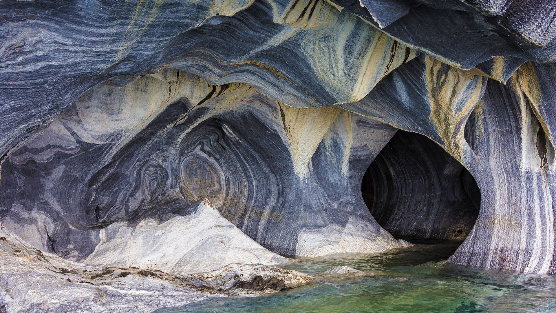
Marble caves at General Carrera Lake, Chile
Here on the Chilean side, it’s General Carrera Lake. But paddle east, cross the border to Argentina, and it becomes Lake Buenos Aires. That’s all without ever leaving the boat. Though the intricately eroded marble shore runs around much of the Patagonian lake, the most dramatic examples of sculpted marble lie within Chile’s borders. Glacial ice and the lake’s waters have drilled into the marble, creating many shallow caves waiting for visitors to explore.Furthering the lake’s reputation as a natural wonder is the mild weather it enjoys. The Andes Mountains ring the lake and create a rain shadow, lending General Carrera Lake a sunny, Mediterranean microclimate. So, while visitors to the surrounding mountains can expect cooler, humid weather, lakeside travel generally means warm and dry days.

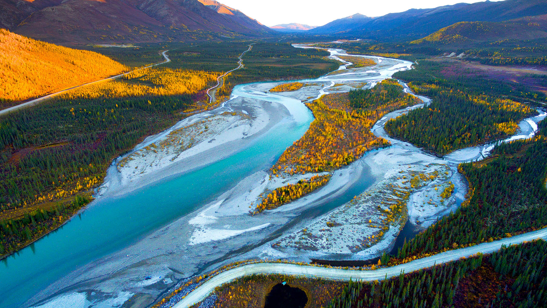
Aerial view of Dalton Highway in Alaska
Alaska's extraordinary and sometimes treacherous Dalton Highway begins near Fairbanks and heads straight through the Brooks Range (the stretch of mountains that forms the North Slope of Alaska) to the Beaufort Sea coast. This vertical road stretches 414 miles through some of the most remote territory of the United States. Journey hundreds of lonely miles northward via the Dalton Highway and you'll descend into a vast coastal plain before finally reaching the sea at Prudhoe Bay, where nothing but icy water lies between you and the North Pole. When they call this road isolated, they mean it: Only three towns lie along the route—Coldfoot, Wiseman, and the rather dauntingly named Deadhorse.

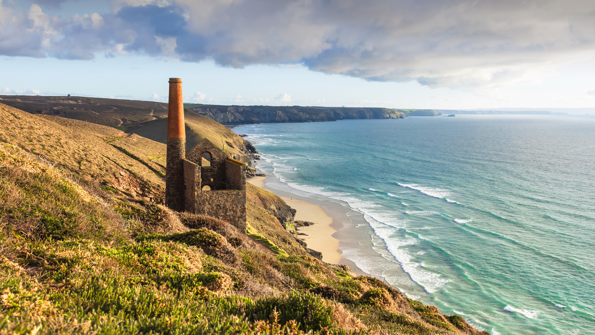
Wheal Coates in Cornwall, England
At this historic site in South West England, the big story is below the surface. Wheal Coates stands on the rugged cliffs above Chapel Porth Beach, where Atlantic winds sweep across the ruins of one of Cornwall's most iconic tin mines. First opened in the 18th century, the mine operated on and off for more than a century, with its final shafts closing in 1914. Though the Towanroath Pumping Engine House (the structure in our image) now stands silent, the site is steeped in the legacy of Cornish mining and preserved as part of the Cornwall and West Devon Mining Landscape—a UNESCO World Heritage Site that honors the region's industrial past.

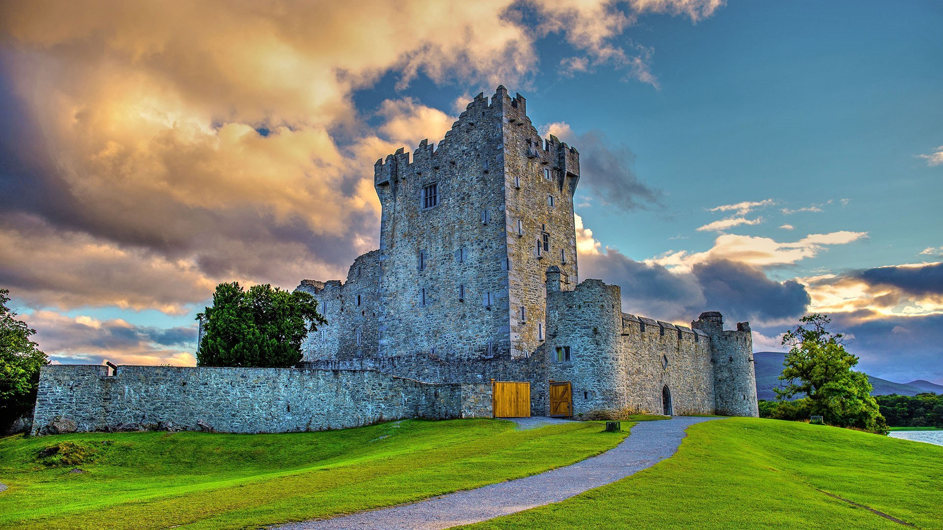
Ross Castle in Killarney National Park, Ireland
It's said that the largest expanse of old-growth forest in Ireland is found within Killarney National Park. The nearly 40-square-mile preserve is also the only place left in the country where red deer roam. The park is an important wilderness preserve, but there's a rich cultural legacy preserved here as well—we're looking at one of the historical highlights in our image. Ross Castle dates from the 15th century, built as a stronghold by an Irish chieftain in the tower house style. The castle sits on the shores of Lough Leane, the largest of the three Lakes of Killarney. Not far from the medieval castle, on a peninsula jutting into the lake, is something far older: It's thought that prehistoric Ireland's earliest known copper mine was located here, providing the raw materials that helped forge a new age.

Random Windows SpotLight images - page 7 / 10